Area Overview for PO22 0HS
Photos of PO22 0HS
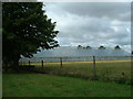
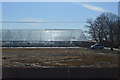
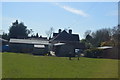
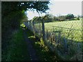
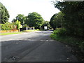
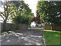
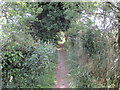
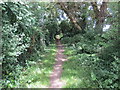
9 photos from this area
Area Information
Key information about the PO22 0HS including its size, population, and administrative classification.
- Area Type
- Postcode
- Area Size
- 6.3 hectares
- Population
- 1552
- Population Density
- 322 people/km²
House Prices in PO22 0HS
31
Properties
£277,783
Average Sold Price
£115,000
Lowest Price
£520,000
Highest Price
Showing 31 properties
| Address | Type | Beds | Baths | Last Sale Price | Last Sale Date | |
|---|---|---|---|---|---|---|
| 22 Wentworth Close, Barnham, PO22 0HS | Detached | 5 | 2 | £520,000 | Feb 2025 | |
| 7 Wentworth Close, Barnham, PO22 0HS | Bungalow | - | - | £355,000 | Jun 2021 | |
| 16 Wentworth Close, Barnham, PO22 0HS | Bungalow | - | - | £325,000 | Oct 2019 | |
| 14 Wentworth Close, Barnham, PO22 0HS | Bungalow | 3 | 2 | £365,000 | Jul 2018 | |
| 6 Wentworth Close, Barnham, PO22 0HS | Bungalow | - | - | £320,000 | Mar 2018 | |
| 30 Wentworth Close, Barnham, PO22 0HS | house | - | - | £360,000 | Oct 2017 | |
| 20 Wentworth Close, Barnham, PO22 0HS | Detached | 4 | 1 | £350,000 | Feb 2016 | |
| 28 Wentworth Close, Barnham, PO22 0HS | house | - | - | £325,000 | Oct 2015 | |
| 21 Wentworth Close, Barnham, PO22 0HS | Bungalow | 3 | 2 | £325,000 | Jun 2014 | |
| 25 Wentworth Close, Barnham, PO22 0HS | Detached | 3 | - | £250,000 | Apr 2014 |
Page 1 of 4
Energy Efficiency in PO22 0HS
Amenities
Schools
| Rank | School | Type | Entry gender | Ages |
|---|
Explore more schools in this area
Go to Schools tabDemographics
Household Size
Two person
most common
Accommodation Type
Houses
most common
Tenure
82
majority
Ethnic Group
White
most common
Religion
N/A
most common
Household Composition
N/A
most common
Age
47
median
Adults (30-64 years)
most common
Household Deprivation
N/A
with no deprivation
NS-SEC
41
in Lower managerial occupations
Explore more demographic insights in this area
Go to Demographics tabPlanning
Planning Constraints
- Flood RiskPremium
- Ramsar Wetland SitesPremium
- Area of Outstanding Natural BeautyPremium
- Protected Nature ReservePremium
- Protected WoodlandPremium