Area Overview for PO21 5UJ
Photos of PO21 5UJ
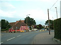
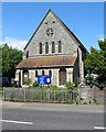
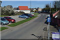
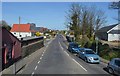
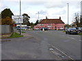
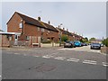
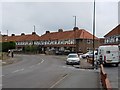
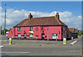
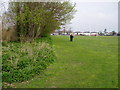
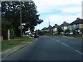
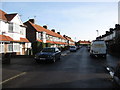
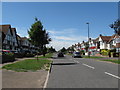
29 photos from this area
Area Information
Key information about the PO21 5UJ including its size, population, and administrative classification.
- Area Type
- Postcode
- Area Size
- 8430 m²
- Population
- 1777
- Population Density
- 1376 people/km²
House Prices in PO21 5UJ
24
Properties
£228,026
Average Sold Price
£56,000
Lowest Price
£375,000
Highest Price
Showing 24 properties
| Address | Type | Beds | Baths | Last Sale Price | Last Sale Date | |
|---|---|---|---|---|---|---|
| 18 Ashurst Close, Bersted, PO21 5UJ | Semi-detached | 3 | 1 | £310,000 | Sep 2024 | |
| 6 Ashurst Close, Bersted, PO21 5UJ | Semi-detached | - | - | £300,000 | Apr 2024 | |
| 16 Ashurst Close, Bersted, PO21 5UJ | house | - | - | £346,500 | Nov 2022 | |
| 3 Ashurst Close, Bersted, PO21 5UJ | Semi-detached | 3 | 1 | £375,000 | Oct 2022 | |
| 5 Ashurst Close, Bersted, PO21 5UJ | Semi-detached | 3 | 1 | £312,500 | Apr 2022 | |
| 7 Ashurst Close, Bersted, PO21 5UJ | Terraced | 3 | 1 | £285,000 | Jul 2021 | |
| 9 Ashurst Close, Bersted, PO21 5UJ | Terraced | 3 | 1 | £226,000 | Dec 2020 | |
| 19 Ashurst Close, Bersted, PO21 5UJ | Terraced | 3 | 2 | £245,000 | Nov 2019 | |
| 15 Ashurst Close, Bersted, PO21 5UJ | Terraced | 3 | 2 | £259,995 | Aug 2019 | |
| 8 Ashurst Close, Bersted, PO21 5UJ | Terraced | - | - | £243,000 | May 2018 |
Page 1 of 3
Energy Efficiency in PO21 5UJ
Amenities
Schools
| Rank | School | Type | Entry gender | Ages |
|---|
Explore more schools in this area
Go to Schools tabDemographics
Household Size
Two person
most common
Accommodation Type
Houses
most common
Tenure
82
majority
Ethnic Group
White
most common
Religion
N/A
most common
Household Composition
N/A
most common
Age
47
median
Adults (30-64 years)
most common
Household Deprivation
N/A
with no deprivation
NS-SEC
28
in Lower managerial occupations
Explore more demographic insights in this area
Go to Demographics tabPlanning
Planning Constraints
- Flood RiskPremium
- Ramsar Wetland SitesPremium
- Area of Outstanding Natural BeautyPremium
- Protected Nature ReservePremium
- Protected WoodlandPremium