Area Overview for PO21 5PH
Photos of PO21 5PH
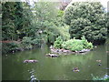

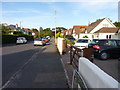
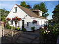
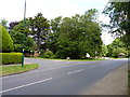
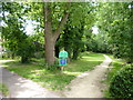
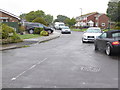
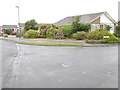
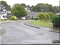
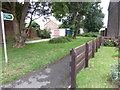
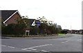
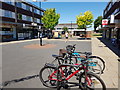
39 photos from this area
Area Information
Key information about the PO21 5PH including its size, population, and administrative classification.
- Area Type
- Postcode
- Area Size
- 4912 m²
- Population
- 1756
- Population Density
- 4042 people/km²
House Prices in PO21 5PH
26
Properties
£140,453
Average Sold Price
£27,000
Lowest Price
£213,500
Highest Price
Showing 26 properties
| Address | Type | Beds | Baths | Last Sale Price | Last Sale Date | |
|---|---|---|---|---|---|---|
| 127 Amberley Drive, Bognor Regis, PO21 5PH | Maisonette | 2 | 1 | £180,000 | Nov 2022 | |
| 109 Amberley Drive, Bognor Regis, PO21 5PH | Maisonette | - | - | £213,500 | May 2022 | |
| 105 Amberley Drive, Bognor Regis, PO21 5PH | Maisonette | 3 | 1 | £200,000 | Feb 2021 | |
| 91 Amberley Drive, Bognor Regis, PO21 5PH | Flat | 2 | 1 | £165,000 | Dec 2017 | |
| 89 Amberley Drive, Bognor Regis, PO21 5PH | Maisonette | 2 | 1 | £155,000 | Oct 2017 | |
| 107 Amberley Drive, Bognor Regis, PO21 5PH | Flat | - | - | £155,000 | Jan 2017 | |
| 77 Amberley Drive, Bognor Regis, PO21 5PH | Maisonette | - | - | £160,000 | Jun 2016 | |
| 121 Amberley Drive, Bognor Regis, PO21 5PH | Maisonette | 3 | 1 | £151,000 | Jan 2015 | |
| 83 Amberley Drive, Bognor Regis, PO21 5PH | Maisonette | 2 | - | £110,000 | Nov 2013 | |
| 87 Amberley Drive, Bognor Regis, PO21 5PH | Maisonette | - | - | £120,000 | May 2011 |
Page 1 of 3
Energy Efficiency in PO21 5PH
Amenities
Schools
| Rank | School | Type | Entry gender | Ages |
|---|
Explore more schools in this area
Go to Schools tabDemographics
Household Size
Family (3-5 people)
most common
Accommodation Type
Houses
most common
Tenure
54
majority
Ethnic Group
White
most common
Religion
N/A
most common
Household Composition
N/A
most common
Age
47
median
Adults (30-64 years)
most common
Household Deprivation
N/A
with no deprivation
NS-SEC
22
in Lower managerial occupations
Explore more demographic insights in this area
Go to Demographics tabPlanning
Planning Constraints
- Flood RiskPremium
- Ramsar Wetland SitesPremium
- Area of Outstanding Natural BeautyPremium
- Protected Nature ReservePremium
- Protected WoodlandPremium