Area Overview for PO21 4RY
Photos of PO21 4RY
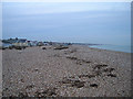
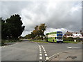
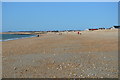
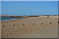
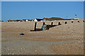
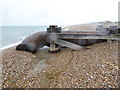
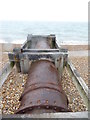
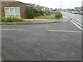
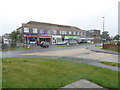
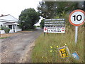
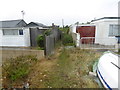

55 photos from this area
Area Information
Key information about the PO21 4RY including its size, population, and administrative classification.
- Area Type
- Postcode
- Area Size
- 1.0 hectares
- Population
- 1647
- Population Density
- 2359 people/km²
House Prices in PO21 4RY
14
Properties
£268,086
Average Sold Price
£177,000
Lowest Price
£385,000
Highest Price
Showing 14 properties
| Address | Type | Beds | Baths | Last Sale Price | Last Sale Date | |
|---|---|---|---|---|---|---|
| 12 Golden Acre, Pagham, PO21 4RY | Bungalow | 2 | - | £280,000 | Sep 2024 | |
| 11 Golden Acre, Pagham, PO21 4RY | Semi-detached | 2 | 2 | £385,000 | Sep 2024 | |
| 15 Golden Acre, Pagham, PO21 4RY | Bungalow | 2 | 1 | £355,000 | Aug 2024 | |
| 8 Golden Acre, Pagham, PO21 4RY | Bungalow | 2 | 1 | £310,000 | Sep 2023 | |
| 6 Golden Acre, Pagham, PO21 4RY | Semi-detached | 2 | 1 | £227,000 | May 2019 | |
| 14 Golden Acre, Pagham, PO21 4RY | Bungalow | - | - | £345,000 | Mar 2018 | |
| 4 Golden Acre, Pagham, PO21 4RY | Semi-detached | 2 | - | £219,950 | Aug 2014 | |
| 5 Golden Acre, Pagham, PO21 4RY | Semi-detached | 3 | 1 | £210,000 | Oct 2013 | |
| 2 Golden Acre, Pagham, PO21 4RY | Bungalow | 2 | - | £177,000 | Sep 2012 | |
| 10 Golden Acre, Pagham, PO21 4RY | Bungalow | 2 | - | £207,000 | Jan 2012 |
Page 1 of 2
Energy Efficiency in PO21 4RY
Amenities
Schools
| Rank | School | Type | Entry gender | Ages |
|---|
Explore more schools in this area
Go to Schools tabDemographics
Household Size
Two person
most common
Accommodation Type
Houses
most common
Tenure
92
majority
Ethnic Group
White
most common
Religion
N/A
most common
Household Composition
N/A
most common
Age
47
median
Adults (30-64 years)
most common
Household Deprivation
N/A
with no deprivation
NS-SEC
29
in Lower managerial occupations
Explore more demographic insights in this area
Go to Demographics tabPlanning
Planning Constraints
- Flood RiskPremium
- Ramsar Wetland SitesPremium
- Area of Outstanding Natural BeautyPremium
- Protected Nature ReservePremium
- Protected WoodlandPremium