Area Overview for PO21 3TN
Photos of PO21 3TN
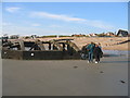
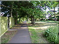
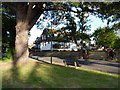
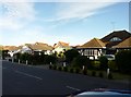
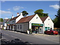
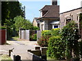
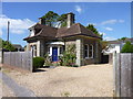
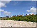
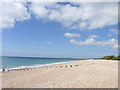
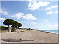
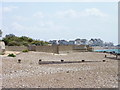
92 photos from this area
Area Information
Key information about the PO21 3TN including its size, population, and administrative classification.
- Area Type
- Postcode
- Area Size
- 1.2 hectares
- Population
- 1652
- Population Density
- 3339 people/km²
House Prices in PO21 3TN
20
Properties
£329,810
Average Sold Price
£76,000
Lowest Price
£625,000
Highest Price
Showing 20 properties
| Address | Type | Beds | Baths | Last Sale Price | Last Sale Date | |
|---|---|---|---|---|---|---|
| 5 Blakemyle, Aldwick, PO21 3TN | Semi-detached | 3 | 2 | £420,000 | Jun 2024 | |
| 22 Blakemyle, Aldwick, PO21 3TN | Bungalow | 3 | 2 | £625,000 | Oct 2022 | |
| 8 Blakemyle, Aldwick, PO21 3TN | Detached | 4 | 2 | £599,200 | Jan 2022 | |
| 15 Blakemyle, Aldwick, PO21 3TN | Detached | 4 | 1 | £391,000 | Mar 2021 | |
| 4 Blakemyle, Aldwick, PO21 3TN | house | 4 | - | £475,000 | Dec 2020 | |
| 7 Blakemyle, Aldwick, PO21 3TN | house | 3 | - | £354,000 | Feb 2017 | |
| 1 Blakemyle, Aldwick, PO21 3TN | Bungalow | 3 | 1 | £340,000 | Jun 2014 | |
| 19 Blakemyle, Aldwick, PO21 3TN | Detached | 3 | 2 | £310,000 | Sep 2013 | |
| 10 Blakemyle, Aldwick, PO21 3TN | house | - | - | £390,000 | Oct 2012 | |
| 6 Blakemyle, Aldwick, PO21 3TN | Detached | 4 | 2 | £320,000 | Feb 2011 |
Page 1 of 2
Energy Efficiency in PO21 3TN
Amenities
Schools
| Rank | School | Type | Entry gender | Ages |
|---|
Explore more schools in this area
Go to Schools tabDemographics
Household Size
Two person
most common
Accommodation Type
Houses
most common
Tenure
82
majority
Ethnic Group
White
most common
Religion
N/A
most common
Household Composition
N/A
most common
Age
47
median
Elderly (65+ years)
most common
Household Deprivation
N/A
with no deprivation
NS-SEC
34
in Lower managerial occupations
Explore more demographic insights in this area
Go to Demographics tabPlanning
Planning Constraints
- Flood RiskPremium
- Ramsar Wetland SitesPremium
- Area of Outstanding Natural BeautyPremium
- Protected Nature ReservePremium
- Protected WoodlandPremium