Area Overview for PO21 3PL
Photos of PO21 3PL
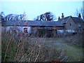
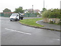
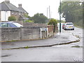
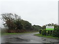
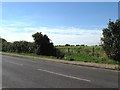
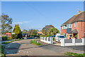
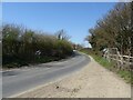
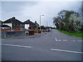
14 photos from this area
Area Information
Key information about the PO21 3PL including its size, population, and administrative classification.
- Area Type
- Postcode
- Area Size
- 4893 m²
- Population
- 1334
- Population Density
- 4842 people/km²
House Prices in PO21 3PL
18
Properties
£212,500
Average Sold Price
£106,000
Lowest Price
£340,000
Highest Price
Showing 18 properties
| Address | Type | Beds | Baths | Last Sale Price | Last Sale Date | |
|---|---|---|---|---|---|---|
| 23 Mayfield Close, Pagham, PO21 3PL | Bungalow | 2 | - | £340,000 | Oct 2022 | |
| 26 Mayfield Close, Pagham, PO21 3PL | Terraced | 3 | 1 | £245,000 | Jun 2021 | |
| 17 Mayfield Close, Pagham, PO21 3PL | house | - | - | £340,000 | Jun 2021 | |
| 15 Mayfield Close, Pagham, PO21 3PL | Bungalow | 2 | 1 | £240,000 | Nov 2019 | |
| 19 Mayfield Close, Pagham, PO21 3PL | Semi-detached | 2 | 1 | £268,000 | Nov 2018 | |
| Jasmine, 14 Mayfield Close, Pagham, PO21 3PL | Bungalow | - | - | £210,000 | Mar 2016 | |
| 25 Mayfield Close, Pagham, PO21 3PL | Semi-detached | 2 | 1 | £155,000 | Aug 2014 | |
| 27 Mayfield Close, Pagham, PO21 3PL | Bungalow | - | - | £162,500 | Oct 2009 | |
| 30 Mayfield Close, Pagham, PO21 3PL | Terraced | - | - | £164,000 | Aug 2003 | |
| 28 Mayfield Close, Pagham, PO21 3PL | Terraced | - | - | £106,000 | Apr 2002 |
Page 1 of 2
Energy Efficiency in PO21 3PL
Amenities
Schools
| Rank | School | Type | Entry gender | Ages |
|---|
Explore more schools in this area
Go to Schools tabDemographics
Household Size
Two person
most common
Accommodation Type
Houses
most common
Tenure
89
majority
Ethnic Group
White
most common
Religion
N/A
most common
Household Composition
N/A
most common
Age
47
median
Adults (30-64 years)
most common
Household Deprivation
N/A
with no deprivation
NS-SEC
30
in Lower managerial occupations
Explore more demographic insights in this area
Go to Demographics tabPlanning
Planning Constraints
- Flood RiskPremium
- Ramsar Wetland SitesPremium
- Area of Outstanding Natural BeautyPremium
- Protected Nature ReservePremium
- Protected WoodlandPremium