Area Overview for PO21 1UH
Photos of PO21 1UH
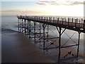
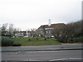
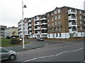
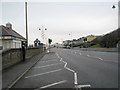
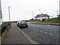
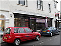
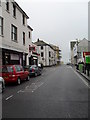
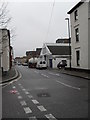
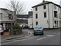
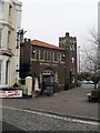
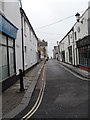
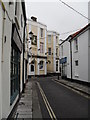
100 photos from this area
Area Information
Key information about the PO21 1UH including its size, population, and administrative classification.
- Area Type
- Postcode
- Area Size
- 5706 m²
- Population
- 2109
- Population Density
- 8271 people/km²
House Prices in PO21 1UH
33
Properties
£201,632
Average Sold Price
£64,000
Lowest Price
£312,500
Highest Price
Showing 33 properties
| Address | Type | Beds | Baths | Last Sale Price | Last Sale Date | |
|---|---|---|---|---|---|---|
| 10 Scott Street, Bognor Regis, PO21 1UH | Semi-detached | 2 | 1 | £262,000 | Jan 2025 | |
| 18 Scott Street, Bognor Regis, PO21 1UH | house | 2 | 1 | £288,000 | Sep 2022 | |
| 32 Scott Street, Bognor Regis, PO21 1UH | house | - | - | £245,000 | Aug 2021 | |
| 17 Scott Street, Bognor Regis, PO21 1UH | Terraced | 2 | 1 | £194,000 | Oct 2020 | |
| 9 Scott Street, Bognor Regis, PO21 1UH | Terraced | 2 | - | £250,000 | Jul 2020 | |
| Milton Cottage, 35 Scott Street, Bognor Regis, PO21 1UH | house | 2 | 1 | £189,000 | Jun 2020 | |
| 28 Scott Street, Bognor Regis, PO21 1UH | Terraced | 2 | 1 | £228,000 | May 2020 | |
| 12 Scott Street, Bognor Regis, PO21 1UH | Terraced | 2 | 1 | £181,000 | Mar 2020 | |
| 14 Scott Street, Bognor Regis, PO21 1UH | Terraced | 3 | 1 | £257,500 | Feb 2020 | |
| Littleburys, 27 Scott Street, Bognor Regis, PO21 1UH | Bungalow | 3 | 1 | £312,500 | Jun 2019 |
Page 1 of 4
Energy Efficiency in PO21 1UH
Amenities
Schools
| Rank | School | Type | Entry gender | Ages |
|---|
Explore more schools in this area
Go to Schools tabDemographics
Household Size
One person
most common
Accommodation Type
Flats
most common
Tenure
46
majority
Ethnic Group
White
most common
Religion
N/A
most common
Household Composition
N/A
most common
Age
47
median
Adults (30-64 years)
most common
Household Deprivation
N/A
with no deprivation
NS-SEC
25
in Lower managerial occupations
Explore more demographic insights in this area
Go to Demographics tabPlanning
Planning Constraints
- Flood RiskPremium
- Ramsar Wetland SitesPremium
- Area of Outstanding Natural BeautyPremium
- Protected Nature ReservePremium
- Protected WoodlandPremium