Area Overview for PO21 1JW
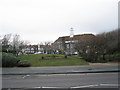
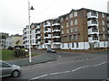
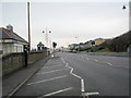
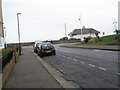
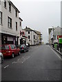
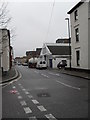
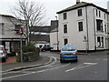
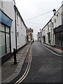
Photos of PO21 1JW


Area Information
The postcode PO21 1JW sits within a very specific residential cluster in Bognor Regis. This small area covers just over 6,000 square metres and contains a population of 1,985 people. Because the area is so compact, residents often form close-knit neighbourhoods where daily interactions are frequent. The density reaches a significant figure of 306,438 people per square kilometre, reflecting a highly concentrated living environment. Living in PO21 1JW means you operate within a tight-knit bubble where the boundary between the immediate street and the wider town is thin. The location offers proximity to the wider Bognor Regis infrastructure without requiring a long journey to get around. You will find that this specific postcode serves as a hub for those who value accessibility within a confined space. The immediate surroundings are defined by this high concentration of households, creating a distinct pulse for the locality.
- Area Type
- Postcode
- Area Size
- 6478 m²
- Population
- 1985
- Population Density
- 9871 people/km²
The property market in PO21 1JW is defined by a strong rental sector and a limited share of owner-occupiers. With home ownership levels sitting at just 27%, the majority of residents rent their accommodation. The area is dominated by flats, which suits the high-density layout of this small residential cluster. For buyers entering the market, PO21 1JW represents a compact environment where properties are concentrated over a distance of just 6,478 square metres. This concentration means that the choice of property type is naturally limited to flats rather than detached or semi-detached houses. The low ownership rate suggests that many homes are part of larger leasehold blocks or housing associations. If you are looking to purchase, understanding the lease terms and building management is crucial given the flat-heavy stock. The market dynamics here differ from suburbs with higher rates of owner-occupation, focusing instead on rental availability and flat conversions.
House Prices in PO21 1JW
Showing 38 properties
Energy Efficiency in PO21 1JW
Living in PO21 1JW provides convenient access to essential retail and travel hubs within a short walk. Three major supermarkets serve the immediate area: Iceland Bognor, Morrisons Bognor, and Tesco Bognor Regis. These stores are located nearby, ensuring you do not need a long journey to shop for daily groceries. The railway network also sits close by, offering five stations within practical reach. You can walk to Bognor Regis Railway Station, Barnham Railway Station, or Ford Railway Station depending on your destination. These stations provide regular services to Brighton, Portsmouth, and London, making commutes efficient. Residents benefit from five retail outlets and five rail connections that form the backbone of local convenience. Dining options abound near these supermarkets, along with local cafes that serve the community. The proximity of these amenities means you can complete most errands without leaving the immediate vicinity of PO21 1JW.
Amenities
Schools
| Rank | School | Type | Entry gender | Ages |
|---|
Explore more schools in this area
Go to Schools tabDemographics
The community profile for PO21 1JW reflects a mature demographic with a median age of 47 years. Most residents fall into the adult age range between 30 and 64 years. This skew suggests a stable population less influenced by the fluctuations of student numbers or young families. Home ownership stands at 27%, which indicates a significant portion of the residents are tenants. This reflects the market reality within the borough of Chichester for this specific location. The housing stock predominantly consists of flats, aligning with the density and land constraints of the postcode. The population is predominantly White, representing the primary ethnic group in the area. With fewer than three out of ten households owning their homes, you may find a community where renting is more common than buying. This demographic structure supports a quiet residential atmosphere during standard working hours while maintaining an active presence throughout the day.
Household Size
Accommodation Type
Tenure
Ethnic Group
Religion
Household Composition
Age
Household Deprivation
NS-SEC
Explore more demographic insights in this area
Go to Demographics tabPlanning
Planning Constraints
- Flood RiskPremium
- Ramsar Wetland SitesPremium
- Area of Outstanding Natural BeautyPremium
- Protected Nature ReservePremium
- Protected WoodlandPremium