Area Overview for PO20 7PZ
Photos of PO20 7PZ
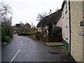
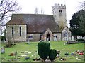
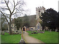
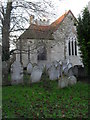
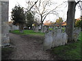
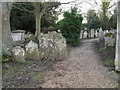
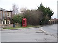
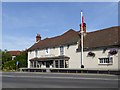
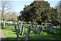
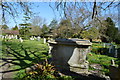
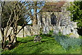
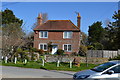
91 photos from this area
Area Information
Key information about the PO20 7PZ including its size, population, and administrative classification.
- Area Type
- Postcode
- Area Size
- 75.5 hectares
- Population
- 1304
- Population Density
- 80 people/km²
House Prices in PO20 7PZ
7
Properties
£626,250
Average Sold Price
£415,000
Lowest Price
£837,500
Highest Price
Showing 7 properties
| Address | Type | Beds | Baths | Last Sale Price | Last Sale Date | |
|---|---|---|---|---|---|---|
| Brimfast House, Brimfast Lane, Sidlesham, PO20 7PZ | Detached | 5 | 3 | £837,500 | Mar 2020 | |
| Owl Barn, Brimfast Lane, Sidlesham, PO20 7PZ | house | - | - | £415,000 | Nov 2002 | |
| Brimfast Cottage, Brimfast Lane, Sidlesham, PO20 7PZ | Detached | 3 | 1 | - | - | |
| Brimfast Piggeries, Brimfast Lane, Sidlesham, PO20 7PZ | Land | - | - | - | - | |
| The Fairways, Brimfast Lane, Sidlesham, PO20 7PZ | Detached | - | - | - | - | |
| Free Spirit Autos, Manhood Workshop, Brimfast Lane, Sidlesham, PO20 7PZ | Industrial | - | - | - | - | |
| Southern Caravans, Manhood Grain Store, Brimfast Lane, Sidlesham, PO20 7PZ | Industrial | - | - | - | - |
Energy Efficiency in PO20 7PZ
Amenities
Schools
| Rank | School | Type | Entry gender | Ages |
|---|
Explore more schools in this area
Go to Schools tabDemographics
Household Size
Two person
most common
Accommodation Type
Houses
most common
Tenure
79
majority
Ethnic Group
White
most common
Religion
N/A
most common
Household Composition
N/A
most common
Age
47
median
Adults (30-64 years)
most common
Household Deprivation
N/A
with no deprivation
NS-SEC
40
in Lower managerial occupations
Explore more demographic insights in this area
Go to Demographics tabPlanning
Planning Constraints
- Flood RiskPremium
- Area of Outstanding Natural BeautyPremium
- Protected Nature ReservePremium
- Protected WoodlandPremium