Area Overview for PO20 1NY
Photos of PO20 1NY
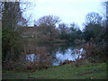
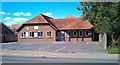
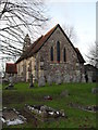
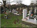
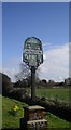
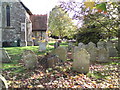
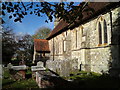
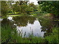
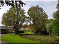
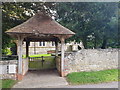
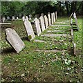
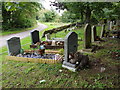
55 photos from this area
Area Information
Key information about the PO20 1NY including its size, population, and administrative classification.
- Area Type
- Postcode
- Area Size
- 3.3 hectares
- Population
- 1290
- Population Density
- 279 people/km²
House Prices in PO20 1NY
49
Properties
£228,979
Average Sold Price
£51,500
Lowest Price
£575,000
Highest Price
Showing 49 properties
| Address | Type | Beds | Baths | Last Sale Price | Last Sale Date | |
|---|---|---|---|---|---|---|
| Wivelsfield, Southover Way, Hunston, PO20 1NY | Detached | 3 | 3 | £575,000 | Dec 2025 | |
| Fieldview, Southover Way, Hunston, PO20 1NY | Retail | 3 | 3 | £470,000 | Oct 2025 | |
| The Croft, Southover Way, Hunston, PO20 1NY | Bungalow | 2 | 1 | £370,000 | Jul 2021 | |
| Berrycote, Southover Way, Hunston, PO20 1NY | Bungalow | - | - | £310,000 | Nov 2020 | |
| 9 Southover Way, Hunston, PO20 1NY | Terraced | 3 | 1 | £308,500 | Jun 2020 | |
| Concord, Southover Way, Hunston, PO20 1NY | Bungalow | 3 | 1 | £255,000 | Nov 2016 | |
| Carmel, Southover Way, Hunston, PO20 1NY | house | 3 | 3 | £400,000 | Dec 2015 | |
| Copse View, Southover Way, Hunston, PO20 1NY | Bungalow | 3 | 1 | £285,000 | Nov 2012 | |
| Polly Cottage, Southover Way, Hunston, PO20 1NY | house | - | - | £320,000 | Jan 2012 | |
| Rosetta, Southover Way, Hunston, PO20 1NY | Bungalow | 2 | 2 | £210,000 | Aug 2010 |
Page 1 of 5
Energy Efficiency in PO20 1NY
Amenities
Schools
| Rank | School | Type | Entry gender | Ages |
|---|
Explore more schools in this area
Go to Schools tabDemographics
Household Size
Two person
most common
Accommodation Type
Houses
most common
Tenure
64
majority
Ethnic Group
White
most common
Religion
N/A
most common
Household Composition
N/A
most common
Age
47
median
Adults (30-64 years)
most common
Household Deprivation
N/A
with no deprivation
NS-SEC
33
in Lower managerial occupations
Explore more demographic insights in this area
Go to Demographics tabPlanning
Planning Constraints
- Flood RiskPremium
- Ramsar Wetland SitesPremium
- Area of Outstanding Natural BeautyPremium
- Protected Nature ReservePremium
- Protected WoodlandPremium