Area Overview for PO20 0SY
Photos of PO20 0SY
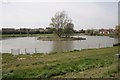
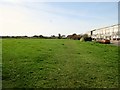
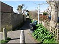
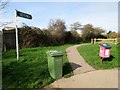
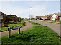
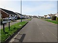
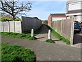
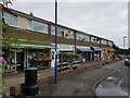
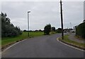
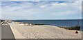
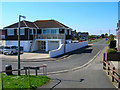
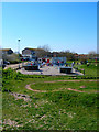
37 photos from this area
Area Information
Key information about the PO20 0SY including its size, population, and administrative classification.
- Area Type
- Postcode
- Area Size
- 5.5 hectares
- Population
- 1337
- Population Density
- 4615 people/km²
House Prices in PO20 0SY
46
Properties
£240,144
Average Sold Price
£56,000
Lowest Price
£440,000
Highest Price
Showing 46 properties
| Address | Type | Beds | Baths | Last Sale Price | Last Sale Date | |
|---|---|---|---|---|---|---|
| 90 Kingsway, Selsey, PO20 0SY | Semi-detached | 3 | 1 | £380,000 | Sep 2025 | |
| 82 Kingsway, Selsey, PO20 0SY | Bungalow | 3 | 1 | £350,000 | Aug 2025 | |
| 10 Kingsway, Selsey, PO20 0SY | Terraced | 3 | 1 | £312,500 | Dec 2024 | |
| 72 Kingsway, Selsey, PO20 0SY | Semi-detached | 3 | 1 | £375,000 | Nov 2024 | |
| 28 Kingsway, Selsey, PO20 0SY | Terraced | 3 | 2 | £440,000 | Oct 2022 | |
| 4 Kingsway, Selsey, PO20 0SY | Terraced | 4 | 1 | £387,500 | Mar 2021 | |
| 58 Kingsway, Selsey, PO20 0SY | Semi-detached | 2 | 1 | £275,000 | Mar 2021 | |
| 6 Kingsway, Selsey, PO20 0SY | Semi-detached | 4 | 1 | £380,000 | Jun 2020 | |
| Turnstone, 14 Kingsway, Selsey, PO20 0SY | Detached | - | - | £305,000 | Apr 2019 | |
| 70 Kingsway, Selsey, PO20 0SY | Semi-detached | 3 | 2 | £295,000 | Dec 2017 |
Page 1 of 5
Energy Efficiency in PO20 0SY
Amenities
Schools
| Rank | School | Type | Entry gender | Ages |
|---|
Explore more schools in this area
Go to Schools tabDemographics
Household Size
Two person
most common
Accommodation Type
Houses
most common
Tenure
81
majority
Ethnic Group
White
most common
Religion
N/A
most common
Household Composition
N/A
most common
Age
47
median
Adults (30-64 years)
most common
Household Deprivation
N/A
with no deprivation
NS-SEC
24
in Lower managerial occupations
Explore more demographic insights in this area
Go to Demographics tabPlanning
Planning Constraints
- Flood RiskPremium
- Ramsar Wetland SitesPremium
- Area of Outstanding Natural BeautyPremium
- Protected Nature ReservePremium
- Protected WoodlandPremium