Area Overview for PO20 0PL
Photos of PO20 0PL
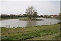
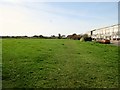
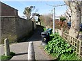
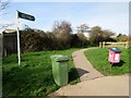
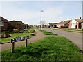
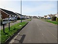
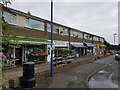
37 photos from this area
Area Information
Key information about the PO20 0PL including its size, population, and administrative classification.
- Area Type
- Postcode
- Area Size
- 1.1 hectares
- Population
- 1740
- Population Density
- 316 people/km²
House Prices in PO20 0PL
16
Properties
£222,125
Average Sold Price
£39,000
Lowest Price
£450,000
Highest Price
Showing 16 properties
| Address | Type | Beds | Baths | Last Sale Price | Last Sale Date | |
|---|---|---|---|---|---|---|
| 51 Fontwell Road, Selsey, PO20 0PL | Bungalow | 3 | 1 | £450,000 | Jul 2022 | |
| 50 Fontwell Road, Selsey, PO20 0PL | Bungalow | 3 | 1 | £367,000 | Apr 2021 | |
| 53 Fontwell Road, Selsey, PO20 0PL | Bungalow | - | - | £330,000 | Dec 2016 | |
| 45 Fontwell Road, Selsey, PO20 0PL | Semi-detached | 3 | 1 | £270,000 | Nov 2016 | |
| 44 Fontwell Road, Selsey, PO20 0PL | house | 3 | - | £183,000 | Jan 2012 | |
| 52 Fontwell Road, Selsey, PO20 0PL | Bungalow | - | - | £232,000 | Nov 2010 | |
| 47 Fontwell Road, Selsey, PO20 0PL | Semi-detached | - | - | £175,000 | Mar 2006 | |
| 43 Fontwell Road, Selsey, PO20 0PL | Semi-detached | - | - | £175,000 | Jun 2005 | |
| 48 Fontwell Road, Selsey, PO20 0PL | Semi-detached | - | - | £195,000 | Jun 2005 | |
| 39 Fontwell Road, Selsey, PO20 0PL | Bungalow | 3 | 1 | £192,500 | Jun 2003 |
Page 1 of 2
Energy Efficiency in PO20 0PL
Amenities
Schools
| Rank | School | Type | Entry gender | Ages |
|---|
Explore more schools in this area
Go to Schools tabDemographics
Household Size
Two person
most common
Accommodation Type
Houses
most common
Tenure
84
majority
Ethnic Group
White
most common
Religion
N/A
most common
Household Composition
N/A
most common
Age
47
median
Elderly (65+ years)
most common
Household Deprivation
N/A
with no deprivation
NS-SEC
28
in Lower managerial occupations
Explore more demographic insights in this area
Go to Demographics tabPlanning
Planning Constraints
- Flood RiskPremium
- Ramsar Wetland SitesPremium
- Area of Outstanding Natural BeautyPremium
- Protected Nature ReservePremium
- Protected WoodlandPremium