Area Overview for PO20 0EY
Photos of PO20 0EY
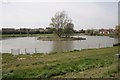
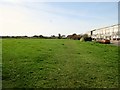
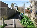
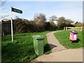
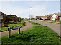
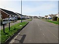
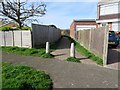
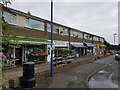
37 photos from this area
Area Information
Key information about the PO20 0EY including its size, population, and administrative classification.
- Area Type
- Postcode
- Area Size
- 6633 m²
- Population
- 1740
- Population Density
- 316 people/km²
House Prices in PO20 0EY
15
Properties
£266,111
Average Sold Price
£70,000
Lowest Price
£475,000
Highest Price
Showing 15 properties
| Address | Type | Beds | Baths | Last Sale Price | Last Sale Date | |
|---|---|---|---|---|---|---|
| 27 Newfield Road, Selsey, PO20 0EY | Bungalow | 2 | 1 | £350,000 | Jul 2024 | |
| Sunrose, 19 Newfield Road, Selsey, PO20 0EY | Bungalow | 3 | 3 | £340,000 | Nov 2023 | |
| Tresco, 21 Newfield Road, Selsey, PO20 0EY | Semi-detached | - | - | £250,000 | Mar 2022 | |
| 23 Newfield Road, Selsey, PO20 0EY | Bungalow | 3 | 2 | £475,000 | Mar 2021 | |
| 25 Newfield Road, Selsey, PO20 0EY | Detached | 3 | 1 | £395,000 | Nov 2018 | |
| Sea-esta, 17 Newfield Road, Selsey, PO20 0EY | Bungalow | - | - | £245,000 | Jan 2017 | |
| Meons, 15 Newfield Road, Selsey, PO20 0EY | Semi-detached | - | - | £125,000 | Jul 2002 | |
| 29 Newfield Road, Selsey, PO20 0EY | Detached | - | - | £145,000 | Mar 2000 | |
| 9 Newfield Road, Selsey, PO20 0EY | Detached | - | - | £70,000 | Apr 1997 | |
| 9A Newfield Road, Selsey, PO20 0EY | Detached | 4 | 2 | - | - |
Page 1 of 2
Energy Efficiency in PO20 0EY
Amenities
Schools
| Rank | School | Type | Entry gender | Ages |
|---|
Explore more schools in this area
Go to Schools tabDemographics
Household Size
Two person
most common
Accommodation Type
Houses
most common
Tenure
84
majority
Ethnic Group
White
most common
Religion
N/A
most common
Household Composition
N/A
most common
Age
47
median
Elderly (65+ years)
most common
Household Deprivation
N/A
with no deprivation
NS-SEC
28
in Lower managerial occupations
Explore more demographic insights in this area
Go to Demographics tabPlanning
Planning Constraints
- Flood RiskPremium
- Ramsar Wetland SitesPremium
- Area of Outstanding Natural BeautyPremium
- Protected Nature ReservePremium
- Protected WoodlandPremium