Area Overview for PO20 0ES
Photos of PO20 0ES
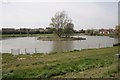
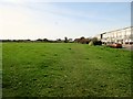
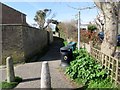
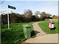
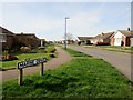
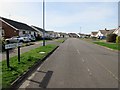
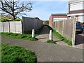
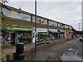
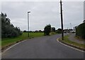
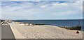
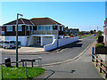
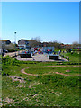
37 photos from this area
Area Information
Key information about the PO20 0ES including its size, population, and administrative classification.
- Area Type
- Postcode
- Area Size
- 5.1 hectares
- Population
- 1740
- Population Density
- 316 people/km²
House Prices in PO20 0ES
29
Properties
£320,716
Average Sold Price
£71,500
Lowest Price
£1,057,000
Highest Price
Showing 29 properties
| Address | Type | Beds | Baths | Last Sale Price | Last Sale Date | |
|---|---|---|---|---|---|---|
| 95 East Beach Road, Selsey, PO20 0ES | Detached | 6 | 4 | £1,057,000 | Mar 2025 | |
| 81 East Beach Road, Selsey, PO20 0ES | Detached | 4 | 2 | £510,000 | Apr 2024 | |
| 65 East Beach Road, Selsey, PO20 0ES | Bungalow | 3 | 2 | £470,000 | Jun 2023 | |
| 75 East Beach Road, Selsey, PO20 0ES | Detached | 4 | 2 | £525,000 | Nov 2022 | |
| Petersuela, 59 East Beach Road, Selsey, PO20 0ES | house | - | - | £380,000 | Mar 2021 | |
| Seacote, 71 East Beach Road, Selsey, PO20 0ES | Detached | 3 | 1 | £385,000 | Nov 2020 | |
| 53 East Beach Road, Selsey, PO20 0ES | Terraced | 3 | 2 | £220,000 | Mar 2016 | |
| 79 East Beach Road, Selsey, PO20 0ES | Detached | 4 | 3 | £305,000 | May 2014 | |
| 77 East Beach Road, Selsey, PO20 0ES | house | 3 | - | £325,000 | Aug 2012 | |
| 93 East Beach Road, Selsey, PO20 0ES | house | - | - | £182,000 | Mar 2002 |
Page 1 of 3
Energy Efficiency in PO20 0ES
Amenities
Schools
| Rank | School | Type | Entry gender | Ages |
|---|
Explore more schools in this area
Go to Schools tabDemographics
Household Size
Two person
most common
Accommodation Type
Houses
most common
Tenure
84
majority
Ethnic Group
White
most common
Religion
N/A
most common
Household Composition
N/A
most common
Age
47
median
Elderly (65+ years)
most common
Household Deprivation
N/A
with no deprivation
NS-SEC
28
in Lower managerial occupations
Explore more demographic insights in this area
Go to Demographics tabPlanning
Planning Constraints
- Flood RiskPremium
- Ramsar Wetland SitesPremium
- Area of Outstanding Natural BeautyPremium
- Protected Nature ReservePremium
- Protected WoodlandPremium