Area Overview for PO2 9NZ
Photos of PO2 9NZ
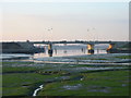
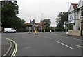
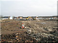
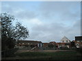
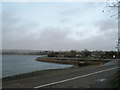
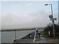
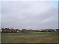
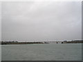
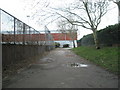
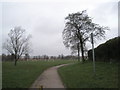
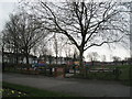
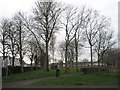
100 photos from this area
Area Information
Key information about the PO2 9NZ including its size, population, and administrative classification.
- Area Type
- Postcode
- Area Size
- 19.0 hectares
- Population
- 1602
- Population Density
- 3068 people/km²
House Prices in PO2 9NZ
36
Properties
£219,513
Average Sold Price
£86,995
Lowest Price
£395,000
Highest Price
Showing 36 properties
| Address | Type | Beds | Baths | Last Sale Price | Last Sale Date | |
|---|---|---|---|---|---|---|
| 11 Valiant Gardens, Portsmouth, PO2 9NZ | Detached | 3 | 2 | £395,000 | Aug 2025 | |
| 5 Valiant Gardens, Portsmouth, PO2 9NZ | Detached | 3 | 2 | £392,000 | Feb 2025 | |
| 7 Valiant Gardens, Portsmouth, PO2 9NZ | Semi-detached | 3 | 1 | £314,000 | Feb 2025 | |
| 2 Valiant Gardens, Portsmouth, PO2 9NZ | Terraced | 2 | 1 | £260,000 | May 2024 | |
| 9 Valiant Gardens, Portsmouth, PO2 9NZ | Retail | 3 | 1 | £350,000 | Aug 2022 | |
| 33 Valiant Gardens, Portsmouth, PO2 9NZ | house | 2 | - | £225,000 | Feb 2021 | |
| 30 Valiant Gardens, Portsmouth, PO2 9NZ | Terraced | 2 | 1 | £225,000 | Dec 2020 | |
| 1 Valiant Gardens, Portsmouth, PO2 9NZ | Semi-detached | 3 | 1 | £315,000 | Apr 2020 | |
| 22 Valiant Gardens, Portsmouth, PO2 9NZ | Terraced | 2 | 1 | £232,500 | Apr 2020 | |
| 15 Valiant Gardens, Portsmouth, PO2 9NZ | Detached | 3 | 3 | £289,950 | May 2018 |
Page 1 of 4
Energy Efficiency in PO2 9NZ
Amenities
Schools
| Rank | School | Type | Entry gender | Ages |
|---|
Explore more schools in this area
Go to Schools tabDemographics
Household Size
Family (3-5 people)
most common
Accommodation Type
Houses
most common
Tenure
47
majority
Ethnic Group
White
most common
Religion
N/A
most common
Household Composition
N/A
most common
Age
47
median
Adults (30-64 years)
most common
Household Deprivation
N/A
with no deprivation
NS-SEC
24
in Lower managerial occupations
Explore more demographic insights in this area
Go to Demographics tabPlanning
Planning Constraints
- Flood RiskPremium
- Ramsar Wetland SitesPremium
- Area of Outstanding Natural BeautyPremium
- Protected Nature ReservePremium
- Protected WoodlandPremium