Area Overview for PO2 9ET
Photos of PO2 9ET

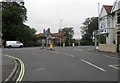
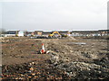
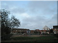
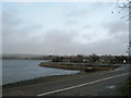
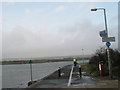
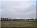
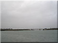
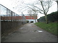
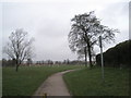
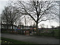
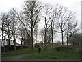
100 photos from this area
Area Information
Key information about the PO2 9ET including its size, population, and administrative classification.
- Area Type
- Postcode
- Area Size
- 6721 m²
- Population
- 1433
- Population Density
- 5240 people/km²
House Prices in PO2 9ET
38
Properties
£216,325
Average Sold Price
£64,500
Lowest Price
£372,500
Highest Price
Showing 38 properties
| Address | Type | Beds | Baths | Last Sale Price | Last Sale Date | |
|---|---|---|---|---|---|---|
| 130 Ophir Road, Portsmouth, PO2 9ET | Terraced | 4 | 2 | £372,500 | May 2025 | |
| 104 Ophir Road, Portsmouth, PO2 9ET | Terraced | 3 | 1 | £350,000 | May 2024 | |
| 118 Ophir Road, Portsmouth, PO2 9ET | house | 1 | 1 | £305,000 | Mar 2024 | |
| 108 Ophir Road, Portsmouth, PO2 9ET | Retail | 4 | 1 | £340,000 | Apr 2022 | |
| 120 Ophir Road, Portsmouth, PO2 9ET | Terraced | 3 | - | £272,000 | Jul 2020 | |
| 106 Ophir Road, Portsmouth, PO2 9ET | Terraced | 3 | 2 | £255,000 | Mar 2020 | |
| 110 Ophir Road, Portsmouth, PO2 9ET | Terraced | 3 | 2 | £236,500 | Jul 2019 | |
| 126 Ophir Road, Portsmouth, PO2 9ET | Terraced | 3 | 1 | £248,000 | Aug 2018 | |
| 92 Ophir Road, Portsmouth, PO2 9ET | house | 3 | 1 | £243,000 | Jun 2018 | |
| 114 Ophir Road, Portsmouth, PO2 9ET | house | - | - | £263,000 | Sep 2017 |
Page 1 of 4
Energy Efficiency in PO2 9ET
Amenities
Schools
| Rank | School | Type | Entry gender | Ages |
|---|
Explore more schools in this area
Go to Schools tabDemographics
Household Size
Family (3-5 people)
most common
Accommodation Type
Houses
most common
Tenure
70
majority
Ethnic Group
White
most common
Religion
N/A
most common
Household Composition
N/A
most common
Age
47
median
Adults (30-64 years)
most common
Household Deprivation
N/A
with no deprivation
NS-SEC
32
in Lower managerial occupations
Explore more demographic insights in this area
Go to Demographics tabPlanning
Planning Constraints
- Flood RiskPremium
- Ramsar Wetland SitesPremium
- Area of Outstanding Natural BeautyPremium
- Protected Nature ReservePremium
- Protected WoodlandPremium