Area Overview for PO2 7JG
Photos of PO2 7JG
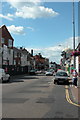
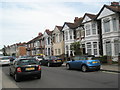
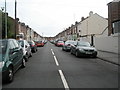
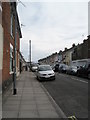
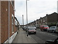
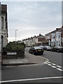
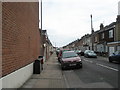
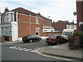
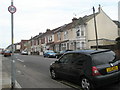
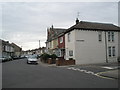
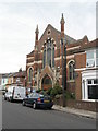
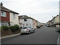
100 photos from this area
Area Information
Key information about the PO2 7JG including its size, population, and administrative classification.
- Area Type
- Postcode
- Area Size
- 5012 m²
- Population
- Not available
- Population Density
- Not available
House Prices in PO2 7JG
34
Properties
£147,059
Average Sold Price
£43,500
Lowest Price
£250,000
Highest Price
Showing 34 properties
| Address | Type | Beds | Baths | Last Sale Price | Last Sale Date | |
|---|---|---|---|---|---|---|
| 73 Powerscourt Road, Portsmouth, PO2 7JG | house | 3 | 1 | £250,000 | Mar 2025 | |
| 65 Powerscourt Road, Portsmouth, PO2 7JG | Terraced | 3 | 1 | £243,000 | Jun 2023 | |
| 77 Powerscourt Road, Portsmouth, PO2 7JG | Terraced | 3 | 1 | £212,000 | Nov 2019 | |
| 97 Powerscourt Road, Portsmouth, PO2 7JG | Terraced | 3 | 1 | £215,000 | Jan 2019 | |
| 91 Powerscourt Road, Portsmouth, PO2 7JG | Terraced | 3 | 2 | £193,000 | Jan 2018 | |
| 105 Powerscourt Road, Portsmouth, PO2 7JG | house | 3 | 1 | £175,000 | Mar 2016 | |
| 93 Powerscourt Road, Portsmouth, PO2 7JG | Terraced | 3 | 1 | £175,000 | Dec 2015 | |
| 63 Powerscourt Road, Portsmouth, PO2 7JG | Terraced | 3 | 1 | £175,000 | Jan 2015 | |
| 79 Powerscourt Road, Portsmouth, PO2 7JG | house | 3 | 1 | £152,000 | Sep 2010 | |
| 69 Powerscourt Road, Portsmouth, PO2 7JG | house | 1 | - | £143,500 | Dec 2006 |
Page 1 of 4
Energy Efficiency in PO2 7JG
Amenities
Schools
| Rank | School | Type | Entry gender | Ages |
|---|
Explore more schools in this area
Go to Schools tabDemographics
Household Size
Family (3-5 people)
most common
Accommodation Type
Houses
most common
Tenure
70
majority
Ethnic Group
White
most common
Religion
N/A
most common
Household Composition
N/A
most common
Age
47
median
Adults (30-64 years)
most common
Household Deprivation
N/A
with no deprivation
NS-SEC
26
in Lower managerial occupations
Explore more demographic insights in this area
Go to Demographics tabPlanning
Planning Constraints
- Flood RiskPremium
- Ramsar Wetland SitesPremium
- Area of Outstanding Natural BeautyPremium
- Protected Nature ReservePremium
- Protected WoodlandPremium