Area Overview for PO2 0SJ
Photos of PO2 0SJ
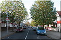
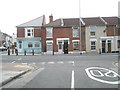
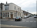
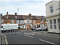
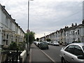
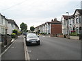
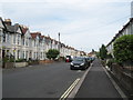
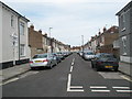
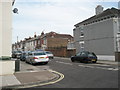
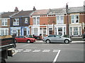
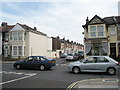
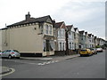
100 photos from this area
Area Information
Key information about the PO2 0SJ including its size, population, and administrative classification.
- Area Type
- Postcode
- Area Size
- 9555 m²
- Population
- 1533
- Population Density
- 6237 people/km²
House Prices in PO2 0SJ
39
Properties
£194,291
Average Sold Price
£51,000
Lowest Price
£430,000
Highest Price
Showing 39 properties
| Address | Type | Beds | Baths | Last Sale Price | Last Sale Date | |
|---|---|---|---|---|---|---|
| 36 Battenburg Avenue, Portsmouth, PO2 0SJ | Semi-detached | 3 | 1 | £318,000 | Aug 2022 | |
| 37 Battenburg Avenue, Portsmouth, PO2 0SJ | Semi-detached | 5 | 3 | £430,000 | Jun 2022 | |
| 31 Battenburg Avenue, Portsmouth, PO2 0SJ | Semi-detached | 3 | 1 | £252,000 | Mar 2021 | |
| 42 Battenburg Avenue, Portsmouth, PO2 0SJ | house | 3 | - | £300,000 | Jan 2021 | |
| 13 Battenburg Avenue, Portsmouth, PO2 0SJ | Semi-detached | 3 | 1 | £255,000 | Jul 2020 | |
| 56 Battenburg Avenue, Portsmouth, PO2 0SJ | house | 3 | - | £262,000 | Jun 2019 | |
| 11 Battenburg Avenue, Portsmouth, PO2 0SJ | Semi-detached | 3 | 2 | £230,000 | May 2019 | |
| 15 Battenburg Avenue, Portsmouth, PO2 0SJ | house | - | - | £235,000 | Nov 2018 | |
| 33 Battenburg Avenue, Portsmouth, PO2 0SJ | Semi-detached | 3 | - | £293,000 | Feb 2017 | |
| 54 Battenburg Avenue, Portsmouth, PO2 0SJ | house | - | - | £228,000 | Jun 2016 |
Page 1 of 4
Energy Efficiency in PO2 0SJ
Amenities
Schools
| Rank | School | Type | Entry gender | Ages |
|---|
Explore more schools in this area
Go to Schools tabDemographics
Household Size
Family (3-5 people)
most common
Accommodation Type
Houses
most common
Tenure
87
majority
Ethnic Group
White
most common
Religion
N/A
most common
Household Composition
N/A
most common
Age
47
median
Adults (30-64 years)
most common
Household Deprivation
N/A
with no deprivation
NS-SEC
31
in Lower managerial occupations
Explore more demographic insights in this area
Go to Demographics tabPlanning
Planning Constraints
- Flood RiskPremium
- Ramsar Wetland SitesPremium
- Area of Outstanding Natural BeautyPremium
- Protected Nature ReservePremium
- Protected WoodlandPremium