Area Overview for PO2 0EX
Photos of PO2 0EX
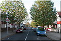
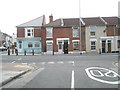
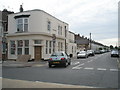
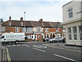
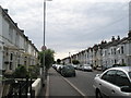
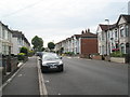
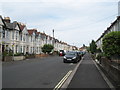
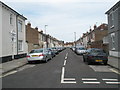
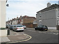
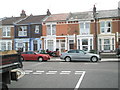
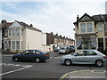
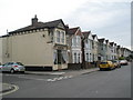
100 photos from this area
Area Information
Key information about the PO2 0EX including its size, population, and administrative classification.
- Area Type
- Postcode
- Area Size
- 5671 m²
- Population
- 1341
- Population Density
- 13998 people/km²
House Prices in PO2 0EX
37
Properties
£183,372
Average Sold Price
£49,500
Lowest Price
£344,000
Highest Price
Showing 37 properties
| Address | Type | Beds | Baths | Last Sale Price | Last Sale Date | |
|---|---|---|---|---|---|---|
| 288 Laburnum Grove, Portsmouth, PO2 0EX | Terraced | 3 | 1 | £272,500 | Jun 2025 | |
| 270 Laburnum Grove, Portsmouth, PO2 0EX | Terraced | 3 | 2 | £250,000 | May 2024 | |
| 252 Laburnum Grove, Portsmouth, PO2 0EX | Terraced | 3 | 1 | £344,000 | May 2024 | |
| 274 Laburnum Grove, Portsmouth, PO2 0EX | Terraced | 3 | 1 | £280,000 | Aug 2023 | |
| 298 Laburnum Grove, Portsmouth, PO2 0EX | Terraced | 3 | 1 | £290,000 | Apr 2023 | |
| 260 Laburnum Grove, Portsmouth, PO2 0EX | house | 3 | 1 | £260,000 | Aug 2022 | |
| 296 Laburnum Grove, Portsmouth, PO2 0EX | Terraced | 3 | 2 | £280,000 | May 2022 | |
| 284 Laburnum Grove, Portsmouth, PO2 0EX | house | - | - | £242,500 | Oct 2020 | |
| 276 Laburnum Grove, Portsmouth, PO2 0EX | Terraced | 3 | 1 | £220,000 | Sep 2020 | |
| 250 Laburnum Grove, Portsmouth, PO2 0EX | Terraced | 3 | 1 | £260,000 | Mar 2020 |
Page 1 of 4
Energy Efficiency in PO2 0EX
Amenities
Schools
| Rank | School | Type | Entry gender | Ages |
|---|
Explore more schools in this area
Go to Schools tabDemographics
Household Size
Family (3-5 people)
most common
Accommodation Type
Houses
most common
Tenure
70
majority
Ethnic Group
White
most common
Religion
N/A
most common
Household Composition
N/A
most common
Age
47
median
Adults (30-64 years)
most common
Household Deprivation
N/A
with no deprivation
NS-SEC
29
in Lower managerial occupations
Explore more demographic insights in this area
Go to Demographics tabPlanning
Planning Constraints
- Flood RiskPremium
- Ramsar Wetland SitesPremium
- Area of Outstanding Natural BeautyPremium
- Protected Nature ReservePremium
- Protected WoodlandPremium