Area Overview for PO19 7TH
Photos of PO19 7TH
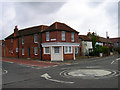

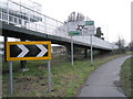
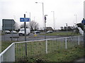
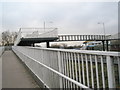
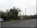
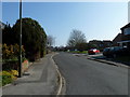
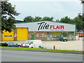
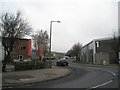


70 photos from this area
Area Information
Key information about the PO19 7TH including its size, population, and administrative classification.
- Area Type
- Postcode
- Area Size
- 5120 m²
- Population
- 1842
- Population Density
- 5825 people/km²
House Prices in PO19 7TH
21
Properties
£313,586
Average Sold Price
£139,950
Lowest Price
£450,000
Highest Price
Showing 21 properties
| Address | Type | Beds | Baths | Last Sale Price | Last Sale Date | |
|---|---|---|---|---|---|---|
| 119 Bognor Road, Chichester, PO19 7TH | Terraced | 2 | 2 | £450,000 | Sep 2025 | |
| 127 Bognor Road, Chichester, PO19 7TH | Terraced | 2 | 2 | £330,000 | Jun 2024 | |
| 126 Bognor Road, Chichester, PO19 7TH | Terraced | 2 | 2 | £360,000 | Jul 2022 | |
| 109 Bognor Road, Chichester, PO19 7TH | Terraced | 2 | 2 | £330,000 | Nov 2018 | |
| 124 Bognor Road, Chichester, PO19 7TH | house | - | - | £377,000 | Jul 2018 | |
| 122 Bognor Road, Chichester, PO19 7TH | Detached | 3 | 2 | £285,000 | Feb 2017 | |
| 113 Bognor Road, Chichester, PO19 7TH | Terraced | 2 | 1 | £282,500 | Jun 2015 | |
| 120 Bognor Road, Chichester, PO19 7TH | Cottage | 2 | - | £290,000 | Nov 2014 | |
| 111 Bognor Road, Chichester, PO19 7TH | Terraced | 2 | - | £280,000 | Nov 2014 | |
| 115 Bognor Road, Chichester, PO19 7TH | house | 3 | - | £325,000 | Oct 2011 |
Page 1 of 3
Energy Efficiency in PO19 7TH
Amenities
Schools
| Rank | School | Type | Entry gender | Ages |
|---|
Explore more schools in this area
Go to Schools tabDemographics
Household Size
One person
most common
Accommodation Type
Houses
most common
Tenure
58
majority
Ethnic Group
White
most common
Religion
N/A
most common
Household Composition
N/A
most common
Age
47
median
Adults (30-64 years)
most common
Household Deprivation
N/A
with no deprivation
NS-SEC
42
in Lower managerial occupations
Explore more demographic insights in this area
Go to Demographics tabPlanning
Planning Constraints
- Flood RiskPremium
- Ramsar Wetland SitesPremium
- Area of Outstanding Natural BeautyPremium
- Protected Nature ReservePremium
- Protected WoodlandPremium