Area Overview for PO19 3QE
Photos of PO19 3QE
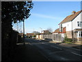
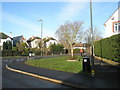
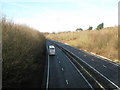
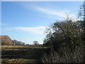
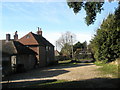
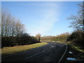
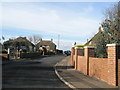
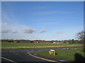
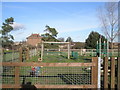
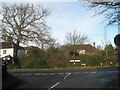
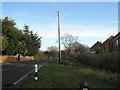

90 photos from this area
Area Information
Key information about the PO19 3QE including its size, population, and administrative classification.
- Area Type
- Postcode
- Area Size
- 3435 m²
- Population
- 2666
- Population Density
- 739 people/km²
House Prices in PO19 3QE
5
Properties
£277,500
Average Sold Price
£240,000
Lowest Price
£328,000
Highest Price
Showing 5 properties
| Address | Type | Beds | Baths | Last Sale Price | Last Sale Date | |
|---|---|---|---|---|---|---|
| The Firs, Nursery Lane, Fishbourne, PO19 3QE | Detached | 4 | 2 | £328,000 | Jan 2018 | |
| Rowan Tree, Nursery Lane, Fishbourne, PO19 3QE | Bungalow | 3 | - | £262,000 | Sep 2010 | |
| Canford, Nursery Lane, Fishbourne, PO19 3QE | Bungalow | 2 | 1 | £240,000 | Jun 2009 | |
| Keewatin, Nursery Lane, Fishbourne, PO19 3QE | Detached | - | - | £280,000 | Nov 2003 | |
| Fircroft, Nursery Lane, Fishbourne, PO19 3QE | Bungalow | - | - | - | - |
Energy Efficiency in PO19 3QE
Amenities
Schools
| Rank | School | Type | Entry gender | Ages |
|---|
Explore more schools in this area
Go to Schools tabDemographics
Household Size
Two person
most common
Accommodation Type
Houses
most common
Tenure
75
majority
Ethnic Group
White
most common
Religion
N/A
most common
Household Composition
N/A
most common
Age
47
median
Adults (30-64 years)
most common
Household Deprivation
N/A
with no deprivation
NS-SEC
46
in Lower managerial occupations
Explore more demographic insights in this area
Go to Demographics tabPlanning
Planning Constraints
- Flood RiskPremium
- Ramsar Wetland SitesPremium
- Area of Outstanding Natural BeautyPremium
- Protected Nature ReservePremium
- Protected WoodlandPremium