Area Overview for PO19 3JD
Photos of PO19 3JD


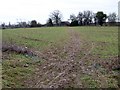
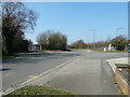
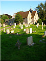
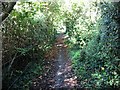
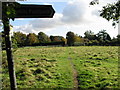
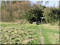
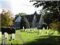
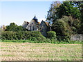
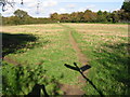
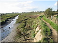
87 photos from this area
Area Information
Key information about the PO19 3JD including its size, population, and administrative classification.
- Area Type
- Postcode
- Area Size
- 1.2 hectares
- Population
- 1807
- Population Density
- 754 people/km²
House Prices in PO19 3JD
17
Properties
£319,770
Average Sold Price
£86,500
Lowest Price
£644,234
Highest Price
Showing 17 properties
| Address | Type | Beds | Baths | Last Sale Price | Last Sale Date | |
|---|---|---|---|---|---|---|
| 6 Westmead Road, Chichester, PO19 3JD | house | - | - | £644,234 | Feb 2023 | |
| Westleigh, 3 Westmead Road, Chichester, PO19 3JD | Bungalow | - | - | £395,000 | Sep 2021 | |
| 13 Westmead Road, Chichester, PO19 3JD | Detached | 4 | 2 | £420,000 | Oct 2017 | |
| Cedar House, 8 Westmead Road, Chichester, PO19 3JD | Detached | - | - | £500,000 | Dec 2009 | |
| 11 Westmead Road, Chichester, PO19 3JD | Detached | - | - | £399,750 | Oct 2008 | |
| 10 Westmead Road, Chichester, PO19 3JD | Bungalow | - | - | £184,000 | Sep 2001 | |
| Barradown, 1 Westmead Road, Chichester, PO19 3JD | Detached | - | - | £86,500 | Sep 1998 | |
| 7 Westmead Road, Chichester, PO19 3JD | Detached | - | - | £149,950 | Aug 1998 | |
| Acorn, Westmead Road, Chichester, PO19 3JD | Bungalow | 2 | 1 | £98,500 | Apr 1997 | |
| 5 Westmead Road, Chichester, PO19 3JD | Detached | 5 | 2 | - | - |
Page 1 of 2
Energy Efficiency in PO19 3JD
Amenities
Schools
| Rank | School | Type | Entry gender | Ages |
|---|
Explore more schools in this area
Go to Schools tabDemographics
Household Size
Two person
most common
Accommodation Type
Houses
most common
Tenure
72
majority
Ethnic Group
White
most common
Religion
N/A
most common
Household Composition
N/A
most common
Age
47
median
Adults (30-64 years)
most common
Household Deprivation
N/A
with no deprivation
NS-SEC
41
in Lower managerial occupations
Explore more demographic insights in this area
Go to Demographics tabPlanning
Planning Constraints
- Flood RiskPremium
- Ramsar Wetland SitesPremium
- Area of Outstanding Natural BeautyPremium
- Protected Nature ReservePremium
- Protected WoodlandPremium