Area Overview for PO17 5BX
Photos of PO17 5BX
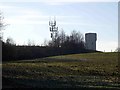
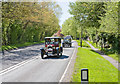
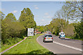
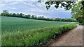
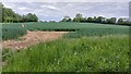
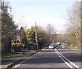
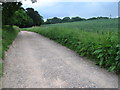
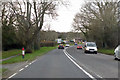
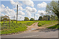
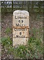
10 photos from this area
Area Information
Key information about the PO17 5BX including its size, population, and administrative classification.
- Area Type
- Postcode
- Area Size
- 24.5 hectares
- Population
- 1607
- Population Density
- 286 people/km²
House Prices in PO17 5BX
32
Properties
£445,281
Average Sold Price
£137,000
Lowest Price
£892,500
Highest Price
Showing 32 properties
| Address | Type | Beds | Baths | Last Sale Price | Last Sale Date | |
|---|---|---|---|---|---|---|
| Tower View, Hoads Hill, Wickham, PO17 5BX | Semi-detached | 5 | 2 | £690,000 | Jul 2024 | |
| Green Trees, Hoads Hill, Wickham, PO17 5BX | Detached | 4 | 2 | £892,500 | Feb 2021 | |
| Meadow View, Hoads Hill, Wickham, PO17 5BX | Bungalow | 4 | 1 | £545,000 | Feb 2020 | |
| Milestone, Hoads Hill, Wickham, PO17 5BX | house | - | - | £575,000 | Dec 2018 | |
| The Glen, Hoads Hill, Wickham, PO17 5BX | Detached | 4 | 2 | £750,000 | Mar 2017 | |
| Chesapeake House, Hoads Hill, Wickham, PO17 5BX | Detached | 3 | 2 | £483,000 | Apr 2015 | |
| Ferndale, Hoads Hill, Wickham, PO17 5BX | house | 4 | - | £417,500 | Feb 2012 | |
| Tree Tops, Hoads Hill, Wickham, PO17 5BX | house | - | - | £425,000 | Dec 2011 | |
| Hazeldean, Hoads Hill, Wickham, PO17 5BX | Detached | - | - | £490,000 | Oct 2007 | |
| Larkspur, Hoads Hill, Wickham, PO17 5BX | Bungalow | - | - | £470,000 | Sep 2007 |
Page 1 of 4
Energy Efficiency in PO17 5BX
Amenities
Schools
| Rank | School | Type | Entry gender | Ages |
|---|
Explore more schools in this area
Go to Schools tabDemographics
Household Size
One person
most common
Accommodation Type
Houses
most common
Tenure
56
majority
Ethnic Group
White
most common
Religion
N/A
most common
Household Composition
N/A
most common
Age
47
median
Adults (30-64 years)
most common
Household Deprivation
N/A
with no deprivation
NS-SEC
33
in Lower managerial occupations
Explore more demographic insights in this area
Go to Demographics tabPlanning
Planning Constraints
- Flood RiskPremium
- Ramsar Wetland SitesPremium
- Area of Outstanding Natural BeautyPremium
- Protected Nature ReservePremium
- Protected WoodlandPremium