Area Overview for PO16 8TS
Photos of PO16 8TS
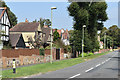
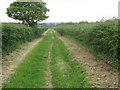
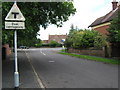
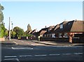

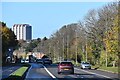
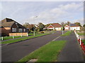
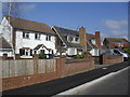
24 photos from this area
Area Information
Key information about the PO16 8TS including its size, population, and administrative classification.
- Area Type
- Postcode
- Area Size
- 26.2 hectares
- Population
- 1551
- Population Density
- 1026 people/km²
House Prices in PO16 8TS
14
Properties
£377,000
Average Sold Price
£235,000
Lowest Price
£578,000
Highest Price
Showing 14 properties
| Address | Type | Beds | Baths | Last Sale Price | Last Sale Date | |
|---|---|---|---|---|---|---|
| 74 Down End Road, Fareham, PO16 8TS | Bungalow | - | - | £235,000 | Sep 2022 | |
| 86 Down End Road, Fareham, PO16 8TS | Detached | 4 | 3 | £578,000 | Nov 2013 | |
| Ellerslie Cottage, Down End Road, Fareham, PO16 8TS | house | 4 | - | £362,000 | Jul 2013 | |
| 86A Down End Road, Fareham, PO16 8TS | house | - | - | £460,000 | Nov 2009 | |
| Calx Lodge, 90 Down End Road, Fareham, PO16 8TS | Detached | - | - | £250,000 | Jul 1999 | |
| Ellerslie House, 72 Down End Road, Fareham, PO16 8TS | Detached | 7 | - | - | - | |
| Former 86, Down End Road, Fareham, PO16 8TS | Detached | - | - | - | - | |
| Ellerslie Touring Caravan Park, Down End Road, Fareham, PO16 8TS | Leisure | - | - | - | - | |
| Fareham Country Club, Down End Road, Fareham, PO16 8TS | Leisure | - | - | - | - | |
| Up One 2, Down End Road, Fareham, PO16 8TS | Maisonette | - | - | - | - |
Page 1 of 2
Energy Efficiency in PO16 8TS
Amenities
Schools
| Rank | School | Type | Entry gender | Ages |
|---|
Explore more schools in this area
Go to Schools tabDemographics
Household Size
Two person
most common
Accommodation Type
Houses
most common
Tenure
82
majority
Ethnic Group
White
most common
Religion
N/A
most common
Household Composition
N/A
most common
Age
47
median
Adults (30-64 years)
most common
Household Deprivation
N/A
with no deprivation
NS-SEC
47
in Lower managerial occupations
Explore more demographic insights in this area
Go to Demographics tabPlanning
Planning Constraints
- Flood RiskPremium
- Ramsar Wetland SitesPremium
- Area of Outstanding Natural BeautyPremium
- Protected Nature ReservePremium
- Protected WoodlandPremium