Area Overview for PO16 8RG
Photos of PO16 8RG
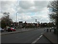
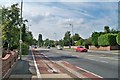
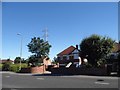

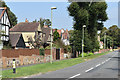
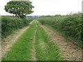
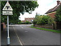
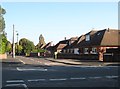

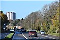
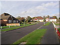
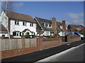
24 photos from this area
Area Information
Key information about the PO16 8RG including its size, population, and administrative classification.
- Area Type
- Postcode
- Area Size
- 1.7 hectares
- Population
- 1233
- Population Density
- 577 people/km²
House Prices in PO16 8RG
24
Properties
£421,661
Average Sold Price
£112,000
Lowest Price
£685,000
Highest Price
Showing 24 properties
| Address | Type | Beds | Baths | Last Sale Price | Last Sale Date | |
|---|---|---|---|---|---|---|
| 19 Down End Road, Fareham, PO16 8RG | house | - | - | £685,000 | Feb 2024 | |
| 10 Down End Road, Fareham, PO16 8RG | Semi-detached | 3 | 1 | £385,000 | Nov 2022 | |
| 22 Down End Road, Fareham, PO16 8RG | Bungalow | - | - | £488,000 | Jun 2021 | |
| 3 Down End Road, Fareham, PO16 8RG | house | - | - | £637,000 | Mar 2021 | |
| 23 Down End Road, Fareham, PO16 8RG | house | - | - | £484,392 | Dec 2020 | |
| 21 Down End Road, Fareham, PO16 8RG | Detached | 4 | 2 | £535,000 | May 2018 | |
| 9 Down End Road, Fareham, PO16 8RG | Detached | 5 | - | £565,000 | Jul 2017 | |
| 25A Down End Road, Fareham, PO16 8RG | house | - | - | £585,000 | Dec 2016 | |
| 18 Down End Road, Fareham, PO16 8RG | Detached | 5 | 2 | £546,000 | Nov 2016 | |
| 11 Down End Road, Fareham, PO16 8RG | house | - | - | £425,000 | Feb 2016 |
Page 1 of 3
Energy Efficiency in PO16 8RG
Amenities
Schools
| Rank | School | Type | Entry gender | Ages |
|---|
Explore more schools in this area
Go to Schools tabDemographics
Household Size
Two person
most common
Accommodation Type
Houses
most common
Tenure
93
majority
Ethnic Group
White
most common
Religion
N/A
most common
Household Composition
N/A
most common
Age
47
median
Adults (30-64 years)
most common
Household Deprivation
N/A
with no deprivation
NS-SEC
49
in Lower managerial occupations
Explore more demographic insights in this area
Go to Demographics tabPlanning
Planning Constraints
- Flood RiskPremium
- Ramsar Wetland SitesPremium
- Area of Outstanding Natural BeautyPremium
- Protected Nature ReservePremium
- Protected WoodlandPremium