Area Overview for PO16 8QJ
Photos of PO16 8QJ
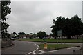
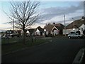
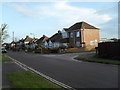
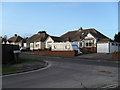
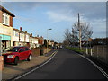
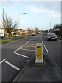
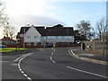
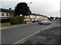
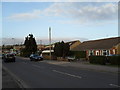
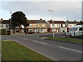
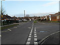
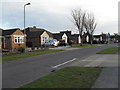
100 photos from this area
Area Information
Key information about the PO16 8QJ including its size, population, and administrative classification.
- Area Type
- Postcode
- Area Size
- 1.9 hectares
- Population
- 1936
- Population Density
- 3403 people/km²
House Prices in PO16 8QJ
22
Properties
£465,750
Average Sold Price
£120,000
Lowest Price
£1,250,000
Highest Price
Showing 22 properties
| Address | Type | Beds | Baths | Last Sale Price | Last Sale Date | |
|---|---|---|---|---|---|---|
| 64 Portchester Road, Fareham, PO16 8QJ | Detached | 4 | 2 | £1,250,000 | Jan 2025 | |
| 84 Portchester Road, Fareham, PO16 8QJ | Detached | 4 | 1 | £775,000 | Aug 2024 | |
| 96 Portchester Road, Fareham, PO16 8QJ | Detached | 4 | 5 | £772,000 | May 2020 | |
| 66 Portchester Road, Fareham, PO16 8QJ | Detached | 4 | 2 | £640,000 | Jul 2019 | |
| 62 Portchester Road, Fareham, PO16 8QJ | Detached | 5 | 3 | £770,000 | Aug 2018 | |
| 82 Portchester Road, Fareham, PO16 8QJ | house | 1 | - | £613,000 | Jul 2016 | |
| 92 Portchester Road, Fareham, PO16 8QJ | house | - | - | £300,000 | Jan 2016 | |
| 76 Portchester Road, Fareham, PO16 8QJ | Detached | 6 | 5 | £465,000 | Apr 2015 | |
| 88A Portchester Road, Fareham, PO16 8QJ | house | - | - | £245,000 | Oct 2005 | |
| 58A Portchester Road, Fareham, PO16 8QJ | Detached | - | - | £340,000 | Aug 2005 |
Page 1 of 3
Energy Efficiency in PO16 8QJ
Amenities
Schools
| Rank | School | Type | Entry gender | Ages |
|---|
Explore more schools in this area
Go to Schools tabDemographics
Household Size
Two person
most common
Accommodation Type
Houses
most common
Tenure
91
majority
Ethnic Group
White
most common
Religion
N/A
most common
Household Composition
N/A
most common
Age
47
median
Adults (30-64 years)
most common
Household Deprivation
N/A
with no deprivation
NS-SEC
41
in Lower managerial occupations
Explore more demographic insights in this area
Go to Demographics tabPlanning
Planning Constraints
- Flood RiskPremium
- Ramsar Wetland SitesPremium
- Area of Outstanding Natural BeautyPremium
- Protected Nature ReservePremium
- Protected WoodlandPremium