Area Overview for PO15 5LR
Photos of PO15 5LR
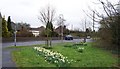

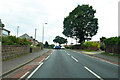
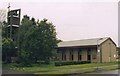
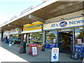
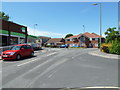
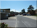
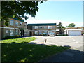
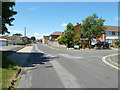
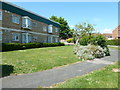
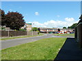
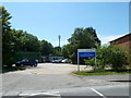
46 photos from this area
Area Information
Key information about the PO15 5LR including its size, population, and administrative classification.
- Area Type
- Postcode
- Area Size
- 8046 m²
- Population
- 1418
- Population Density
- 2732 people/km²
House Prices in PO15 5LR
14
Properties
£375,589
Average Sold Price
£97,500
Lowest Price
£582,500
Highest Price
Showing 14 properties
| Address | Type | Beds | Baths | Last Sale Price | Last Sale Date | |
|---|---|---|---|---|---|---|
| 2 Larches Gardens, Fareham, PO15 5LR | house | - | - | £420,000 | Oct 2024 | |
| 9 Larches Gardens, Fareham, PO15 5LR | Semi-detached | 3 | 1 | £420,000 | Apr 2024 | |
| 2A Larches Gardens, Fareham, PO15 5LR | Detached | 4 | 1 | £582,500 | Sep 2023 | |
| 8 Larches Gardens, Fareham, PO15 5LR | house | 3 | 1 | £439,000 | Sep 2023 | |
| 1 Larches Gardens, Fareham, PO15 5LR | Detached | 3 | 1 | £485,000 | Jan 2023 | |
| 11 Larches Gardens, Fareham, PO15 5LR | Retail | 3 | 1 | £425,000 | Oct 2022 | |
| 3 Larches Gardens, Fareham, PO15 5LR | Detached | 3 | 1 | £415,000 | Jun 2019 | |
| 2B Larches Gardens, Fareham, PO15 5LR | Detached | 5 | 2 | £445,000 | Sep 2016 | |
| 4 Larches Gardens, Fareham, PO15 5LR | Detached | - | - | £189,975 | Aug 2003 | |
| 7 Larches Gardens, Fareham, PO15 5LR | Detached | - | - | £212,500 | Aug 2002 |
Page 1 of 2
Energy Efficiency in PO15 5LR
Amenities
Schools
| Rank | School | Type | Entry gender | Ages |
|---|
Explore more schools in this area
Go to Schools tabDemographics
Household Size
Two person
most common
Accommodation Type
Houses
most common
Tenure
89
majority
Ethnic Group
White
most common
Religion
N/A
most common
Household Composition
N/A
most common
Age
47
median
Adults (30-64 years)
most common
Household Deprivation
N/A
with no deprivation
NS-SEC
46
in Lower managerial occupations
Explore more demographic insights in this area
Go to Demographics tabPlanning
Planning Constraints
- Flood RiskPremium
- Ramsar Wetland SitesPremium
- Area of Outstanding Natural BeautyPremium
- Protected Nature ReservePremium
- Protected WoodlandPremium