Area Overview for PO15 5BS
Photos of PO15 5BS
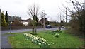
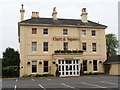
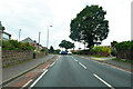
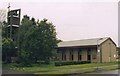
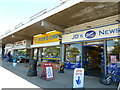
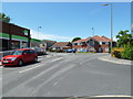
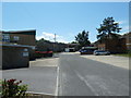
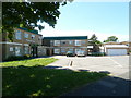
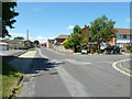
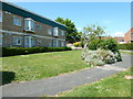
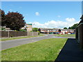
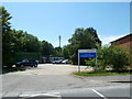
46 photos from this area
Area Information
Key information about the PO15 5BS including its size, population, and administrative classification.
- Area Type
- Postcode
- Area Size
- 6462 m²
- Population
- 1659
- Population Density
- 2145 people/km²
House Prices in PO15 5BS
11
Properties
£186,564
Average Sold Price
£60,000
Lowest Price
£290,000
Highest Price
Showing 11 properties
| Address | Type | Beds | Baths | Last Sale Price | Last Sale Date | |
|---|---|---|---|---|---|---|
| 171 Blackbrook Road, Fareham, PO15 5BS | Bungalow | - | - | £290,000 | May 2023 | |
| 175 Blackbrook Road, Fareham, PO15 5BS | Semi-detached | 2 | 1 | £285,000 | Aug 2021 | |
| 170 Blackbrook Road, Fareham, PO15 5BS | Bungalow | 2 | 1 | £275,000 | Sep 2019 | |
| 174 Blackbrook Road, Fareham, PO15 5BS | Semi-detached | - | - | £145,000 | May 2004 | |
| 173 Blackbrook Road, Fareham, PO15 5BS | Semi-detached | - | - | £167,000 | Feb 2003 | |
| 177 Blackbrook Road, Fareham, PO15 5BS | Semi-detached | - | - | £83,950 | Dec 1999 | |
| 165 Blackbrook Road, Fareham, PO15 5BS | Semi-detached | - | - | £60,000 | Oct 1996 | |
| 169 Blackbrook Road, Fareham, PO15 5BS | Semi-detached | - | - | - | - | |
| 168 Blackbrook Road, Fareham, PO15 5BS | Detached | - | - | - | - | |
| 167 Blackbrook Road, Fareham, PO15 5BS | Semi-detached | 2 | 1 | - | - |
Page 1 of 2
Energy Efficiency in PO15 5BS
Amenities
Schools
| Rank | School | Type | Entry gender | Ages |
|---|
Explore more schools in this area
Go to Schools tabDemographics
Household Size
Two person
most common
Accommodation Type
Houses
most common
Tenure
89
majority
Ethnic Group
White
most common
Religion
N/A
most common
Household Composition
N/A
most common
Age
47
median
Adults (30-64 years)
most common
Household Deprivation
N/A
with no deprivation
NS-SEC
34
in Lower managerial occupations
Explore more demographic insights in this area
Go to Demographics tabPlanning
Planning Constraints
- Flood RiskPremium
- Ramsar Wetland SitesPremium
- Area of Outstanding Natural BeautyPremium
- Protected Nature ReservePremium
- Protected WoodlandPremium