Area Overview for PO14 3QE
Photos of PO14 3QE
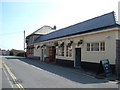
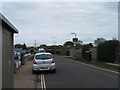
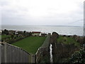
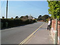
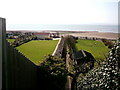
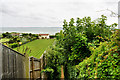
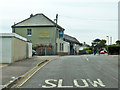
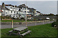
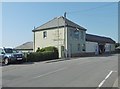
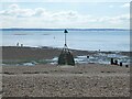
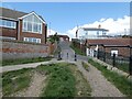
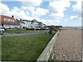
80 photos from this area
Area Information
Key information about the PO14 3QE including its size, population, and administrative classification.
- Area Type
- Postcode
- Area Size
- 1.7 hectares
- Population
- 1375
- Population Density
- 4872 people/km²
House Prices in PO14 3QE
33
Properties
£315,312
Average Sold Price
£124,995
Lowest Price
£635,000
Highest Price
Showing 33 properties
| Address | Type | Beds | Baths | Last Sale Price | Last Sale Date | |
|---|---|---|---|---|---|---|
| 105 Crofton Lane, Fareham, PO14 3QE | Chalet | 3 | 2 | £635,000 | Dec 2021 | |
| 68 Crofton Lane, Fareham, PO14 3QE | Detached | 4 | 2 | £492,500 | Dec 2018 | |
| 87 Crofton Lane, Fareham, PO14 3QE | Detached | 4 | 1 | £535,000 | May 2018 | |
| 70 Crofton Lane, Fareham, PO14 3QE | Bungalow | 5 | 2 | £485,000 | Apr 2018 | |
| 89 Crofton Lane, Fareham, PO14 3QE | Bungalow | - | - | £360,000 | Jun 2017 | |
| 60A Crofton Lane, Fareham, PO14 3QE | Flat | - | - | £125,000 | Feb 2014 | |
| 91 Crofton Lane, Fareham, PO14 3QE | Detached | 4 | 2 | £325,000 | Apr 2012 | |
| 74 Crofton Lane, Fareham, PO14 3QE | Detached | - | - | £365,000 | Jul 2009 | |
| 64C Crofton Lane, Fareham, PO14 3QE | Flat | - | - | £124,995 | May 2008 | |
| 101 Crofton Lane, Fareham, PO14 3QE | Bungalow | - | - | £385,000 | Oct 2007 |
Page 1 of 4
Energy Efficiency in PO14 3QE
Amenities
Schools
| Rank | School | Type | Entry gender | Ages |
|---|
Explore more schools in this area
Go to Schools tabDemographics
Household Size
Two person
most common
Accommodation Type
Houses
most common
Tenure
83
majority
Ethnic Group
White
most common
Religion
N/A
most common
Household Composition
N/A
most common
Age
47
median
Adults (30-64 years)
most common
Household Deprivation
N/A
with no deprivation
NS-SEC
40
in Lower managerial occupations
Explore more demographic insights in this area
Go to Demographics tabPlanning
Planning Constraints
- Flood RiskPremium
- Ramsar Wetland SitesPremium
- Area of Outstanding Natural BeautyPremium
- Protected Nature ReservePremium
- Protected WoodlandPremium