Area Overview for PO14 3EA
Photos of PO14 3EA
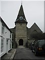
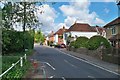
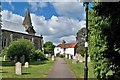
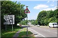
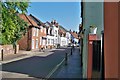
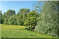
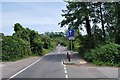
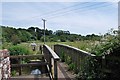
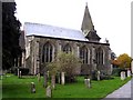
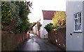
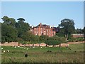
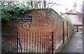
99 photos from this area
Area Information
Key information about the PO14 3EA including its size, population, and administrative classification.
- Area Type
- Postcode
- Area Size
- 7.4 hectares
- Population
- 1365
- Population Density
- 196 people/km²
House Prices in PO14 3EA
17
Properties
£401,722
Average Sold Price
£154,500
Lowest Price
£680,000
Highest Price
Showing 17 properties
| Address | Type | Beds | Baths | Last Sale Price | Last Sale Date | |
|---|---|---|---|---|---|---|
| 67 Ranvilles Lane, Fareham, PO14 3EA | house | - | - | £490,000 | May 2022 | |
| 63 Ranvilles Lane, Fareham, PO14 3EA | Detached | 3 | - | £420,000 | Sep 2021 | |
| 50 Ranvilles Lane, Fareham, PO14 3EA | Detached | 3 | 1 | £587,000 | Mar 2020 | |
| 49 Ranvilles Lane, Fareham, PO14 3EA | house | 4 | - | £680,000 | Mar 2015 | |
| 57 Ranvilles Lane, Fareham, PO14 3EA | Bungalow | 4 | - | £465,000 | Nov 2013 | |
| 55 Ranvilles Lane, Fareham, PO14 3EA | Bungalow | - | - | £239,000 | Feb 2002 | |
| 46 Ranvilles Lane, Fareham, PO14 3EA | Detached | - | - | £410,000 | May 2001 | |
| 48 Ranvilles Lane, Fareham, PO14 3EA | Detached | - | - | £170,000 | Nov 2000 | |
| 51 Ranvilles Lane, Fareham, PO14 3EA | Detached | - | - | £154,500 | Oct 1997 | |
| 61 Ranvilles Lane, Fareham, PO14 3EA | Detached | 4 | 1 | - | - |
Page 1 of 2
Energy Efficiency in PO14 3EA
Amenities
Schools
| Rank | School | Type | Entry gender | Ages |
|---|
Explore more schools in this area
Go to Schools tabDemographics
Household Size
Family (3-5 people)
most common
Accommodation Type
Houses
most common
Tenure
58
majority
Ethnic Group
White
most common
Religion
N/A
most common
Household Composition
N/A
most common
Age
47
median
Adults (30-64 years)
most common
Household Deprivation
N/A
with no deprivation
NS-SEC
38
in Lower managerial occupations
Explore more demographic insights in this area
Go to Demographics tabPlanning
Planning Constraints
- Flood RiskPremium
- Ramsar Wetland SitesPremium
- Area of Outstanding Natural BeautyPremium
- Protected Nature ReservePremium
- Protected WoodlandPremium