Area Overview for PO14 2HQ
Photos of PO14 2HQ
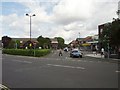
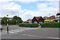
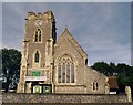
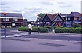
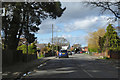
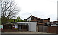
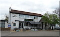
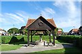

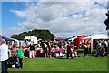

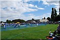
43 photos from this area
Area Information
Key information about the PO14 2HQ including its size, population, and administrative classification.
- Area Type
- Postcode
- Area Size
- 4566 m²
- Population
- 2760
- Population Density
- 671 people/km²
House Prices in PO14 2HQ
10
Properties
£330,241
Average Sold Price
£153,500
Lowest Price
£485,000
Highest Price
Showing 10 properties
| Address | Type | Beds | Baths | Last Sale Price | Last Sale Date | |
|---|---|---|---|---|---|---|
| 69 St Marys Road, Fareham, PO14 2HQ | Bungalow | 2 | 2 | £485,000 | Sep 2024 | |
| 76 St Marys Road, Fareham, PO14 2HQ | Semi-detached | 3 | 1 | £440,000 | May 2023 | |
| 66 St Marys Road, Fareham, PO14 2HQ | Semi-detached | 4 | 2 | £399,995 | Sep 2020 | |
| 74 St Marys Road, Fareham, PO14 2HQ | Semi-detached | 3 | - | £232,950 | Sep 2013 | |
| 67 St Marys Road, Fareham, PO14 2HQ | Bungalow | 3 | - | £270,000 | Apr 2012 | |
| 70 St Marys Road, Fareham, PO14 2HQ | Semi-detached | - | - | £153,500 | Oct 2002 | |
| 72 St Marys Road, Fareham, PO14 2HQ | Detached | 3 | 1 | - | - | |
| The Susan Paradise Clinic, 67 St Marys Road, Fareham, PO14 2HQ | Retail | - | - | - | - | |
| 78 St Marys Road, Fareham, PO14 2HQ | house | - | - | - | - | |
| 68 St Marys Road, Fareham, PO14 2HQ | Semi-detached | - | - | - | - |
Energy Efficiency in PO14 2HQ
Amenities
Schools
| Rank | School | Type | Entry gender | Ages |
|---|
Explore more schools in this area
Go to Schools tabDemographics
Household Size
Two person
most common
Accommodation Type
Houses
most common
Tenure
85
majority
Ethnic Group
White
most common
Religion
N/A
most common
Household Composition
N/A
most common
Age
47
median
Adults (30-64 years)
most common
Household Deprivation
N/A
with no deprivation
NS-SEC
43
in Lower managerial occupations
Explore more demographic insights in this area
Go to Demographics tabPlanning
Planning Constraints
- Flood RiskPremium
- Ramsar Wetland SitesPremium
- Area of Outstanding Natural BeautyPremium
- Protected Nature ReservePremium
- Protected WoodlandPremium