Area Overview for PO14 1LT
Photos of PO14 1LT
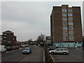
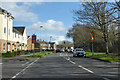
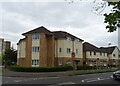
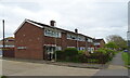
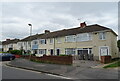
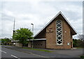
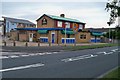
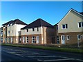
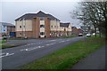
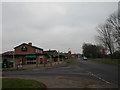
18 photos from this area
Area Information
Key information about the PO14 1LT including its size, population, and administrative classification.
- Area Type
- Postcode
- Area Size
- 4510 m²
- Population
- 1568
- Population Density
- 7820 people/km²
House Prices in PO14 1LT
14
Properties
£165,833
Average Sold Price
£59,995
Lowest Price
£340,000
Highest Price
Showing 14 properties
| Address | Type | Beds | Baths | Last Sale Price | Last Sale Date | |
|---|---|---|---|---|---|---|
| 2 Butser Walk, Fareham, PO14 1LT | Semi-detached | 4 | 1 | £340,000 | Jul 2023 | |
| 6 Butser Walk, Fareham, PO14 1LT | house | - | - | £210,000 | Jul 2019 | |
| 19 Butser Walk, Fareham, PO14 1LT | Terraced | 3 | 1 | £195,000 | Aug 2018 | |
| 27 Butser Walk, Fareham, PO14 1LT | Terraced | 3 | 1 | £190,000 | Apr 2018 | |
| 23 Butser Walk, Fareham, PO14 1LT | Terraced | 3 | 1 | £166,000 | Apr 2015 | |
| 29 Butser Walk, Fareham, PO14 1LT | house | 3 | - | £144,000 | Oct 2011 | |
| 17 Butser Walk, Fareham, PO14 1LT | Terraced | - | - | £145,000 | Jan 2009 | |
| 25 Butser Walk, Fareham, PO14 1LT | house | - | - | £140,000 | Mar 2008 | |
| 8 Butser Walk, Fareham, PO14 1LT | house | - | - | £170,000 | Jun 2007 | |
| 9 Butser Walk, Fareham, PO14 1LT | Semi-detached | 4 | - | £159,000 | Sep 2005 |
Page 1 of 2
Energy Efficiency in PO14 1LT
Amenities
Schools
| Rank | School | Type | Entry gender | Ages |
|---|
Explore more schools in this area
Go to Schools tabDemographics
Household Size
Family (3-5 people)
most common
Accommodation Type
Houses
most common
Tenure
39
majority
Ethnic Group
White
most common
Religion
N/A
most common
Household Composition
N/A
most common
Age
47
median
Adults (30-64 years)
most common
Household Deprivation
N/A
with no deprivation
NS-SEC
20
in Lower managerial occupations
Explore more demographic insights in this area
Go to Demographics tabPlanning
Planning Constraints
- Flood RiskPremium
- Ramsar Wetland SitesPremium
- Area of Outstanding Natural BeautyPremium
- Protected Nature ReservePremium
- Protected WoodlandPremium