Area Overview for PO13 0DG
Photos of PO13 0DG
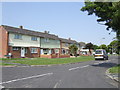
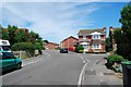
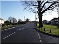
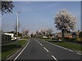
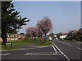
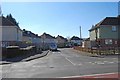
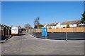
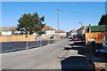
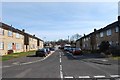
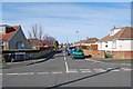
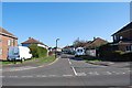
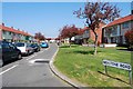
100 photos from this area
Area Information
Key information about the PO13 0DG including its size, population, and administrative classification.
- Area Type
- Postcode
- Area Size
- 2.1 hectares
- Population
- 1406
- Population Density
- 4013 people/km²
House Prices in PO13 0DG
49
Properties
£152,083
Average Sold Price
£59,999
Lowest Price
£225,000
Highest Price
Showing 49 properties
| Address | Type | Beds | Baths | Last Sale Price | Last Sale Date | |
|---|---|---|---|---|---|---|
| 76A Gorselands Way, Gosport, PO13 0DG | Terraced | - | - | £180,000 | Apr 2024 | |
| 107 Gorselands Way, Gosport, PO13 0DG | house | - | - | £225,000 | Aug 2021 | |
| 76B Gorselands Way, Gosport, PO13 0DG | house | - | - | £185,000 | May 2021 | |
| 91 Gorselands Way, Gosport, PO13 0DG | Terraced | 3 | 1 | £190,000 | Jul 2020 | |
| 105 Gorselands Way, Gosport, PO13 0DG | Terraced | 3 | 1 | £179,000 | Apr 2020 | |
| 113 Gorselands Way, Gosport, PO13 0DG | Terraced | 3 | 1 | £181,000 | Jun 2019 | |
| 109 Gorselands Way, Gosport, PO13 0DG | house | - | - | £163,000 | Apr 2016 | |
| 87 Gorselands Way, Gosport, PO13 0DG | Maisonette | - | - | £72,000 | Dec 2013 | |
| 101 Gorselands Way, Gosport, PO13 0DG | house | 3 | - | £123,000 | Oct 2013 | |
| 93 Gorselands Way, Gosport, PO13 0DG | Terraced | - | - | £142,000 | Aug 2007 |
Page 1 of 5
Energy Efficiency in PO13 0DG
Amenities
Schools
| Rank | School | Type | Entry gender | Ages |
|---|
Explore more schools in this area
Go to Schools tabDemographics
Household Size
Two person
most common
Accommodation Type
Houses
most common
Tenure
54
majority
Ethnic Group
White
most common
Religion
N/A
most common
Household Composition
N/A
most common
Age
47
median
Adults (30-64 years)
most common
Household Deprivation
N/A
with no deprivation
NS-SEC
26
in Lower managerial occupations
Explore more demographic insights in this area
Go to Demographics tabPlanning
Planning Constraints
- Flood RiskPremium
- Ramsar Wetland SitesPremium
- Area of Outstanding Natural BeautyPremium
- Protected Nature ReservePremium
- Protected WoodlandPremium