Area Overview for PO12 4PS
Photos of PO12 4PS
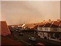
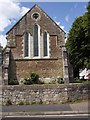
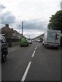
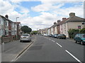
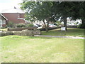
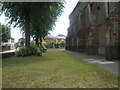
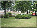
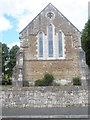
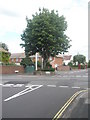
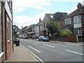
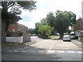
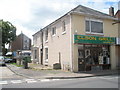
100 photos from this area
Area Information
Key information about the PO12 4PS including its size, population, and administrative classification.
- Area Type
- Postcode
- Area Size
- 1.4 hectares
- Population
- 1353
- Population Density
- 8607 people/km²
House Prices in PO12 4PS
53
Properties
£185,112
Average Sold Price
£44,000
Lowest Price
£300,000
Highest Price
Showing 53 properties
| Address | Type | Beds | Baths | Last Sale Price | Last Sale Date | |
|---|---|---|---|---|---|---|
| 44 Vale Grove, Gosport, PO12 4PS | Semi-detached | 3 | 2 | £264,000 | Sep 2025 | |
| 40 Vale Grove, Gosport, PO12 4PS | Semi-detached | 3 | 1 | £300,000 | Mar 2025 | |
| 28 Vale Grove, Gosport, PO12 4PS | Terraced | 3 | 2 | £300,000 | Mar 2025 | |
| 14 Vale Grove, Gosport, PO12 4PS | Terraced | 4 | 2 | £273,000 | Jul 2024 | |
| 23 Vale Grove, Gosport, PO12 4PS | Terraced | 3 | 1 | £290,000 | Oct 2023 | |
| 22 Vale Grove, Gosport, PO12 4PS | house | 3 | 1 | £205,000 | Aug 2022 | |
| 54 Vale Grove, Gosport, PO12 4PS | house | - | - | £294,000 | Aug 2022 | |
| 21 Vale Grove, Gosport, PO12 4PS | Retail | 3 | 1 | £230,000 | Jul 2022 | |
| 30 Vale Grove, Gosport, PO12 4PS | Terraced | 4 | 1 | £285,000 | Dec 2021 | |
| 32 Vale Grove, Gosport, PO12 4PS | Terraced | 3 | 1 | £245,000 | Sep 2021 |
Page 1 of 6
Energy Efficiency in PO12 4PS
Amenities
Schools
| Rank | School | Type | Entry gender | Ages |
|---|
Explore more schools in this area
Go to Schools tabDemographics
Household Size
Two person
most common
Accommodation Type
Houses
most common
Tenure
72
majority
Ethnic Group
White
most common
Religion
N/A
most common
Household Composition
N/A
most common
Age
47
median
Adults (30-64 years)
most common
Household Deprivation
N/A
with no deprivation
NS-SEC
25
in Lower managerial occupations
Explore more demographic insights in this area
Go to Demographics tabPlanning
Planning Constraints
- Flood RiskPremium
- Ramsar Wetland SitesPremium
- Area of Outstanding Natural BeautyPremium
- Protected Nature ReservePremium
- Protected WoodlandPremium