Area Overview for PO12 4JQ
Photos of PO12 4JQ
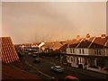
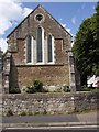
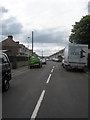
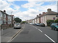
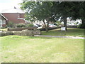
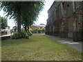
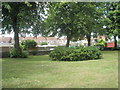
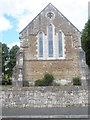
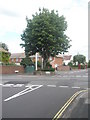
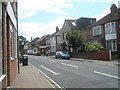
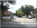
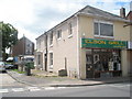
100 photos from this area
Area Information
Key information about the PO12 4JQ including its size, population, and administrative classification.
- Area Type
- Postcode
- Area Size
- 9815 m²
- Population
- 1398
- Population Density
- 7743 people/km²
House Prices in PO12 4JQ
42
Properties
£115,172
Average Sold Price
£39,995
Lowest Price
£250,000
Highest Price
Showing 42 properties
| Address | Type | Beds | Baths | Last Sale Price | Last Sale Date | |
|---|---|---|---|---|---|---|
| 21 Merganser Close, Gosport, PO12 4JQ | Flat | 2 | 1 | £137,000 | Oct 2025 | |
| 19 Merganser Close, Gosport, PO12 4JQ | Flat | 3 | 1 | £117,000 | Jan 2025 | |
| 5 Merganser Close, Gosport, PO12 4JQ | Flat | 2 | 1 | £121,000 | May 2024 | |
| 11 Merganser Close, Gosport, PO12 4JQ | Flat | 3 | 1 | £135,000 | Apr 2024 | |
| 42 Merganser Close, Gosport, PO12 4JQ | Terraced | 3 | 1 | £250,000 | May 2023 | |
| 35 Merganser Close, Gosport, PO12 4JQ | Terraced | 3 | 1 | £240,000 | Nov 2022 | |
| 24 Merganser Close, Gosport, PO12 4JQ | Retail | 3 | 1 | £236,500 | Oct 2022 | |
| 31 Merganser Close, Gosport, PO12 4JQ | Retail | 3 | 1 | £212,000 | Jan 2022 | |
| 15 Merganser Close, Gosport, PO12 4JQ | Flat | - | - | £100,000 | Apr 2021 | |
| 10 Merganser Close, Gosport, PO12 4JQ | Flat | - | - | £137,000 | Apr 2021 |
Page 1 of 5
Energy Efficiency in PO12 4JQ
Amenities
Schools
| Rank | School | Type | Entry gender | Ages |
|---|
Explore more schools in this area
Go to Schools tabDemographics
Household Size
Two person
most common
Accommodation Type
Houses
most common
Tenure
62
majority
Ethnic Group
White
most common
Religion
N/A
most common
Household Composition
N/A
most common
Age
47
median
Adults (30-64 years)
most common
Household Deprivation
N/A
with no deprivation
NS-SEC
32
in Lower managerial occupations
Explore more demographic insights in this area
Go to Demographics tabPlanning
Planning Constraints
- Flood RiskPremium
- Ramsar Wetland SitesPremium
- Area of Outstanding Natural BeautyPremium
- Protected Nature ReservePremium
- Protected WoodlandPremium