Area Overview for PO12 3UD
Photos of PO12 3UD
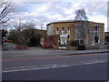
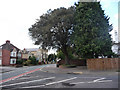
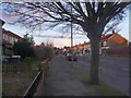
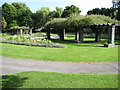
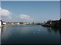
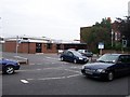
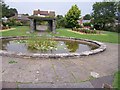
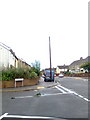
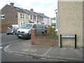
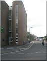
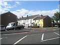
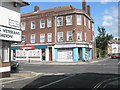
100 photos from this area
Area Information
Key information about the PO12 3UD including its size, population, and administrative classification.
- Area Type
- Postcode
- Area Size
- 1.8 hectares
- Population
- 1114
- Population Density
- 4111 people/km²
House Prices in PO12 3UD
25
Properties
£298,230
Average Sold Price
£98,995
Lowest Price
£675,000
Highest Price
Showing 25 properties
| Address | Type | Beds | Baths | Last Sale Price | Last Sale Date | |
|---|---|---|---|---|---|---|
| 2 Bury Road, Gosport, PO12 3UD | Flat | 1 | 1 | £675,000 | Aug 2021 | |
| 12 Bury Road, Gosport, PO12 3UD | Terraced | 2 | - | £175,000 | Mar 2021 | |
| 16 Bury Road, Gosport, PO12 3UD | Detached | 10 | 11 | £98,995 | Jan 2017 | |
| 30 Bury Road, Gosport, PO12 3UD | Semi-detached | 5 | - | £450,000 | Mar 2016 | |
| 14 Bury Road, Gosport, PO12 3UD | Semi-detached | 2 | - | £130,000 | Dec 2012 | |
| 22 Bury Road, Gosport, PO12 3UD | house | - | - | £450,000 | Nov 2012 | |
| 40 Bury Road, Gosport, PO12 3UD | Detached | 6 | 4 | £475,000 | Mar 2010 | |
| 34 Bury Road, Gosport, PO12 3UD | house | - | - | £405,000 | Nov 2009 | |
| 10 Bury Road, Gosport, PO12 3UD | house | 2 | - | £170,000 | Sep 2006 | |
| 18 Bury Road, Gosport, PO12 3UD | Semi-detached | - | - | £285,000 | Mar 2004 |
Page 1 of 3
Energy Efficiency in PO12 3UD
Amenities
Schools
| Rank | School | Type | Entry gender | Ages |
|---|
Explore more schools in this area
Go to Schools tabDemographics
Household Size
Two person
most common
Accommodation Type
Houses
most common
Tenure
81
majority
Ethnic Group
White
most common
Religion
N/A
most common
Household Composition
N/A
most common
Age
47
median
Adults (30-64 years)
most common
Household Deprivation
N/A
with no deprivation
NS-SEC
43
in Lower managerial occupations
Explore more demographic insights in this area
Go to Demographics tabPlanning
Planning Constraints
- Flood RiskPremium
- Ramsar Wetland SitesPremium
- Area of Outstanding Natural BeautyPremium
- Protected Nature ReservePremium
- Protected WoodlandPremium