Area Overview for PO12 2NF
Photos of PO12 2NF
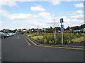
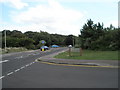
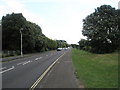
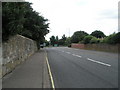
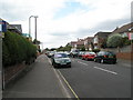

100 photos from this area
Area Information
Key information about the PO12 2NF including its size, population, and administrative classification.
- Area Type
- Postcode
- Area Size
- 2.9 hectares
- Population
- 1492
- Population Density
- 2050 people/km²
House Prices in PO12 2NF
27
Properties
£371,738
Average Sold Price
£145,000
Lowest Price
£550,000
Highest Price
Showing 27 properties
| Address | Type | Beds | Baths | Last Sale Price | Last Sale Date | |
|---|---|---|---|---|---|---|
| 73 Western Way, Gosport, PO12 2NF | house | - | - | £490,000 | Jun 2021 | |
| 43 Western Way, Gosport, PO12 2NF | Detached | 3 | 1 | £480,000 | Apr 2019 | |
| 37 Western Way, Gosport, PO12 2NF | Semi-detached | 4 | 1 | £515,000 | Mar 2019 | |
| 71 Western Way, Gosport, PO12 2NF | house | 4 | - | £525,000 | Jan 2019 | |
| 45 Western Way, Gosport, PO12 2NF | Detached | 4 | - | £480,000 | Jul 2016 | |
| 39 Western Way, Gosport, PO12 2NF | house | - | - | £529,000 | Jan 2015 | |
| 81 Western Way, Gosport, PO12 2NF | Detached | 4 | - | £320,000 | Jun 2014 | |
| 51 Western Way, Gosport, PO12 2NF | house | - | - | £335,000 | Oct 2012 | |
| 63 Western Way, Gosport, PO12 2NF | house | 4 | 2 | £550,000 | Jun 2010 | |
| 49 Western Way, Gosport, PO12 2NF | Detached | - | - | £295,000 | Jul 2008 |
Page 1 of 3
Energy Efficiency in PO12 2NF
Amenities
Schools
| Rank | School | Type | Entry gender | Ages |
|---|
Explore more schools in this area
Go to Schools tabDemographics
Household Size
Two person
most common
Accommodation Type
Houses
most common
Tenure
85
majority
Ethnic Group
White
most common
Religion
N/A
most common
Household Composition
N/A
most common
Age
47
median
Adults (30-64 years)
most common
Household Deprivation
N/A
with no deprivation
NS-SEC
50
in Lower managerial occupations
Explore more demographic insights in this area
Go to Demographics tabPlanning
Planning Constraints
- Flood RiskPremium
- Ramsar Wetland SitesPremium
- Area of Outstanding Natural BeautyPremium
- Protected Nature ReservePremium
- Protected WoodlandPremium