Area Overview for PO11 0LJ
Photos of PO11 0LJ
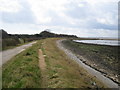
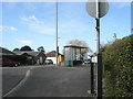
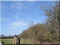
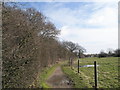
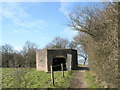
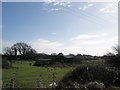
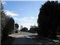
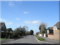
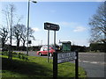
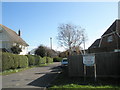
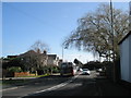
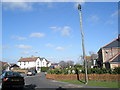
100 photos from this area
Area Information
Key information about the PO11 0LJ including its size, population, and administrative classification.
- Area Type
- Postcode
- Area Size
- 12.5 hectares
- Population
- 1269
- Population Density
- 483 people/km²
House Prices in PO11 0LJ
43
Properties
£302,891
Average Sold Price
£60,000
Lowest Price
£560,000
Highest Price
Showing 43 properties
| Address | Type | Beds | Baths | Last Sale Price | Last Sale Date | |
|---|---|---|---|---|---|---|
| 114 Havant Road, Hayling Island, PO11 0LJ | Detached | 5 | 5 | £286,930 | Dec 2023 | |
| 152 Havant Road, Hayling Island, PO11 0LJ | Detached | 3 | 2 | £370,000 | Nov 2023 | |
| 158 Havant Road, Hayling Island, PO11 0LJ | house | - | - | £560,000 | Jul 2023 | |
| 160 Havant Road, Hayling Island, PO11 0LJ | house | - | - | £320,000 | Jun 2020 | |
| 108 Havant Road, Hayling Island, PO11 0LJ | Mobile Home | 2 | 2 | £542,500 | Sep 2019 | |
| 94 Havant Road, Hayling Island, PO11 0LJ | Detached | 3 | 2 | £325,000 | Apr 2019 | |
| 168 Havant Road, Hayling Island, PO11 0LJ | Bungalow | - | - | £352,500 | Nov 2017 | |
| 174 Havant Road, Hayling Island, PO11 0LJ | Bungalow | 3 | 3 | £480,000 | Oct 2017 | |
| 130 Havant Road, Hayling Island, PO11 0LJ | Bungalow | - | - | £230,000 | Sep 2013 | |
| 162 Havant Road, Hayling Island, PO11 0LJ | Semi-detached | 3 | - | £249,995 | Dec 2010 |
Page 1 of 5
Energy Efficiency in PO11 0LJ
Amenities
Schools
| Rank | School | Type | Entry gender | Ages |
|---|
Explore more schools in this area
Go to Schools tabDemographics
Household Size
Two person
most common
Accommodation Type
Houses
most common
Tenure
91
majority
Ethnic Group
White
most common
Religion
N/A
most common
Household Composition
N/A
most common
Age
47
median
Adults (30-64 years)
most common
Household Deprivation
N/A
with no deprivation
NS-SEC
41
in Lower managerial occupations
Explore more demographic insights in this area
Go to Demographics tabPlanning
Planning Constraints
- Flood RiskPremium
- Ramsar Wetland SitesPremium
- Area of Outstanding Natural BeautyPremium
- Protected Nature ReservePremium
- Protected WoodlandPremium