Area Overview for PO10 8UT
Photos of PO10 8UT
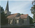
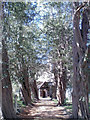
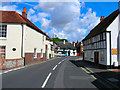
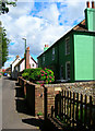
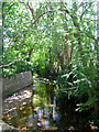
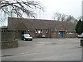
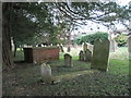
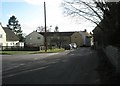
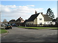
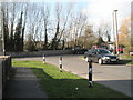
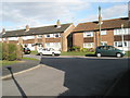
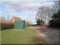
102 photos from this area
Area Information
Key information about the PO10 8UT including its size, population, and administrative classification.
- Area Type
- Postcode
- Area Size
- 9259 m²
- Population
- 2395
- Population Density
- 321 people/km²
House Prices in PO10 8UT
26
Properties
£166,867
Average Sold Price
£35,000
Lowest Price
£275,000
Highest Price
Showing 26 properties
| Address | Type | Beds | Baths | Last Sale Price | Last Sale Date | |
|---|---|---|---|---|---|---|
| 67 Edgell Road, Westbourne, PO10 8UT | house | 2 | 1 | £275,000 | Mar 2022 | |
| 63 Edgell Road, Westbourne, PO10 8UT | house | 2 | 1 | £270,000 | Oct 2021 | |
| 61 Edgell Road, Westbourne, PO10 8UT | Terraced | 2 | 1 | £251,250 | Mar 2020 | |
| 47 Edgell Road, Westbourne, PO10 8UT | Terraced | 2 | 1 | £258,000 | Oct 2019 | |
| 55 Edgell Road, Westbourne, PO10 8UT | house | - | - | £120,000 | Mar 2006 | |
| 71 Edgell Road, Westbourne, PO10 8UT | Terraced | - | - | £150,000 | Jul 2005 | |
| 39 Edgell Road, Westbourne, PO10 8UT | Terraced | - | - | £164,000 | Jun 2005 | |
| 51 Edgell Road, Westbourne, PO10 8UT | Terraced | - | - | £88,000 | Jul 2003 | |
| 69 Edgell Road, Westbourne, PO10 8UT | Terraced | - | - | £57,420 | Dec 2001 | |
| 49 Edgell Road, Westbourne, PO10 8UT | Terraced | - | - | £35,000 | Sep 1997 |
Page 1 of 3
Energy Efficiency in PO10 8UT
Amenities
Schools
| Rank | School | Type | Entry gender | Ages |
|---|
Explore more schools in this area
Go to Schools tabDemographics
Household Size
Two person
most common
Accommodation Type
Houses
most common
Tenure
69
majority
Ethnic Group
White
most common
Religion
N/A
most common
Household Composition
N/A
most common
Age
47
median
Adults (30-64 years)
most common
Household Deprivation
N/A
with no deprivation
NS-SEC
40
in Lower managerial occupations
Explore more demographic insights in this area
Go to Demographics tabPlanning
Planning Constraints
- Flood RiskPremium
- Ramsar Wetland SitesPremium
- Area of Outstanding Natural BeautyPremium
- Protected Nature ReservePremium
- Protected WoodlandPremium