Area Overview for PO10 8JL
Photos of PO10 8JL
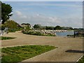
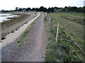
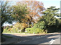
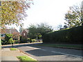
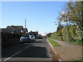
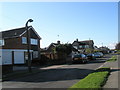
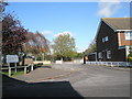
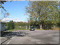
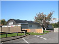
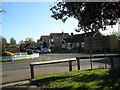
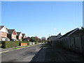
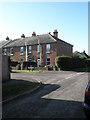
100 photos from this area
Area Information
Key information about the PO10 8JL including its size, population, and administrative classification.
- Area Type
- Postcode
- Area Size
- 1.2 hectares
- Population
- 2093
- Population Density
- 745 people/km²
House Prices in PO10 8JL
27
Properties
£341,464
Average Sold Price
£38,500
Lowest Price
£700,000
Highest Price
Showing 27 properties
| Address | Type | Beds | Baths | Last Sale Price | Last Sale Date | |
|---|---|---|---|---|---|---|
| 276 Main Road, Southbourne, PO10 8JL | Semi-detached | 3 | 1 | £350,000 | May 2024 | |
| 262 Main Road, Southbourne, PO10 8JL | Flat | - | - | £260,000 | Jan 2023 | |
| 270 Main Road, Southbourne, PO10 8JL | Bungalow | 2 | 1 | £450,000 | Jun 2022 | |
| 304A Main Road, Southbourne, PO10 8JL | Flat | - | - | £390,000 | Sep 2021 | |
| 286 Main Road, Southbourne, PO10 8JL | Terraced | 3 | 2 | £403,000 | Nov 2019 | |
| 292 Main Road, Southbourne, PO10 8JL | house | - | - | £454,000 | Jul 2015 | |
| 270A Main Road, Southbourne, PO10 8JL | Detached | - | - | £700,000 | Oct 2014 | |
| 284 Main Road, Southbourne, PO10 8JL | Flat | 2 | 1 | £220,000 | Jan 2012 | |
| 258 Main Road, Southbourne, PO10 8JL | house | - | - | £460,000 | Oct 2009 | |
| 294 Main Road, Southbourne, PO10 8JL | Semi-detached | - | - | £305,000 | Feb 2008 |
Page 1 of 3
Energy Efficiency in PO10 8JL
Amenities
Schools
| Rank | School | Type | Entry gender | Ages |
|---|
Explore more schools in this area
Go to Schools tabDemographics
Household Size
Two person
most common
Accommodation Type
Houses
most common
Tenure
77
majority
Ethnic Group
White
most common
Religion
N/A
most common
Household Composition
N/A
most common
Age
47
median
Adults (30-64 years)
most common
Household Deprivation
N/A
with no deprivation
NS-SEC
42
in Lower managerial occupations
Explore more demographic insights in this area
Go to Demographics tabPlanning
Planning Constraints
- Flood RiskPremium
- Ramsar Wetland SitesPremium
- Area of Outstanding Natural BeautyPremium
- Protected Nature ReservePremium
- Protected WoodlandPremium