Area Overview for PO10 7UR
Photos of PO10 7UR
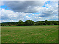
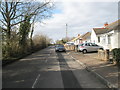
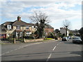
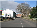
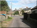
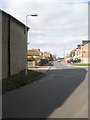
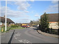
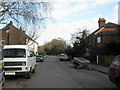
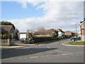
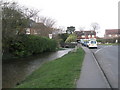
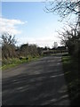
55 photos from this area
Area Information
Key information about the PO10 7UR including its size, population, and administrative classification.
- Area Type
- Postcode
- Area Size
- 11.9 hectares
- Population
- 2187
- Population Density
- 1473 people/km²
House Prices in PO10 7UR
15
Properties
£543,143
Average Sold Price
£380,000
Lowest Price
£750,000
Highest Price
Showing 15 properties
| Address | Type | Beds | Baths | Last Sale Price | Last Sale Date | |
|---|---|---|---|---|---|---|
| High Trees, 36 Long Copse Lane, Emsworth, PO10 7UR | house | - | - | £380,000 | Oct 2020 | |
| The Coach House, 42 Long Copse Lane, Emsworth, PO10 7UR | Detached | 5 | 3 | £380,000 | Mar 2016 | |
| Sunnyside, 54 Long Copse Lane, Emsworth, PO10 7UR | Detached | - | - | £717,000 | Jul 2013 | |
| 50 Long Copse Lane, Emsworth, PO10 7UR | Detached | 4 | 1 | £495,000 | Apr 2013 | |
| 44 Long Copse Lane, Emsworth, PO10 7UR | house | - | - | £570,000 | Mar 2012 | |
| 48 Long Copse Lane, Emsworth, PO10 7UR | house | 4 | - | £510,000 | Dec 2011 | |
| Longacre, Long Copse Lane, Emsworth, PO10 7UR | house | - | - | £750,000 | Jan 2010 | |
| 40 Long Copse Lane, Emsworth, PO10 7UR | Semi-detached | 3 | 2 | - | - | |
| 38 Long Copse Lane, Emsworth, PO10 7UR | Detached | 5 | 3 | - | - | |
| Southdown View, Long Copse Lane, Emsworth, PO10 7UR | Equestrian | - | - | - | - |
Page 1 of 2
Energy Efficiency in PO10 7UR
Amenities
Schools
| Rank | School | Type | Entry gender | Ages |
|---|
Explore more schools in this area
Go to Schools tabDemographics
Household Size
Two person
most common
Accommodation Type
Houses
most common
Tenure
79
majority
Ethnic Group
White
most common
Religion
N/A
most common
Household Composition
N/A
most common
Age
47
median
Adults (30-64 years)
most common
Household Deprivation
N/A
with no deprivation
NS-SEC
41
in Lower managerial occupations
Explore more demographic insights in this area
Go to Demographics tabPlanning
Planning Constraints
- Flood RiskPremium
- Ramsar Wetland SitesPremium
- Area of Outstanding Natural BeautyPremium
- Protected Nature ReservePremium
- Protected WoodlandPremium