Area Overview for PO10 7SZ
Photos of PO10 7SZ
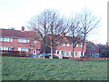
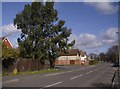
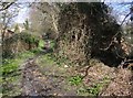
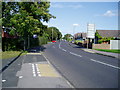
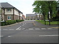
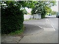
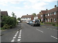
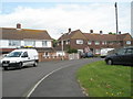
100 photos from this area
Area Information
Key information about the PO10 7SZ including its size, population, and administrative classification.
- Area Type
- Postcode
- Area Size
- 1.3 hectares
- Population
- 1520
- Population Density
- 2444 people/km²
House Prices in PO10 7SZ
28
Properties
£208,182
Average Sold Price
£33,500
Lowest Price
£355,000
Highest Price
Showing 28 properties
| Address | Type | Beds | Baths | Last Sale Price | Last Sale Date | |
|---|---|---|---|---|---|---|
| 13 Conigar Road, Emsworth, PO10 7SZ | Terraced | 3 | 1 | £326,500 | Dec 2024 | |
| 12 Conigar Road, Emsworth, PO10 7SZ | Semi-detached | 3 | 1 | £355,000 | Feb 2024 | |
| 32 Conigar Road, Emsworth, PO10 7SZ | house | - | - | £300,000 | Nov 2021 | |
| 21 Conigar Road, Emsworth, PO10 7SZ | Bungalow | - | - | £282,500 | May 2018 | |
| 15 Conigar Road, Emsworth, PO10 7SZ | house | - | - | £230,000 | Aug 2017 | |
| 10 Conigar Road, Emsworth, PO10 7SZ | Terraced | 3 | 1 | £225,000 | Apr 2014 | |
| 4 Conigar Road, Emsworth, PO10 7SZ | house | - | - | £189,500 | Feb 2012 | |
| 11 Conigar Road, Emsworth, PO10 7SZ | Semi-detached | - | - | £187,500 | Aug 2007 | |
| 7 Conigar Road, Emsworth, PO10 7SZ | Semi-detached | - | - | £82,000 | Oct 2001 | |
| 30 Conigar Road, Emsworth, PO10 7SZ | Terraced | - | - | £33,500 | May 2000 |
Page 1 of 3
Energy Efficiency in PO10 7SZ
Amenities
Schools
| Rank | School | Type | Entry gender | Ages |
|---|
Explore more schools in this area
Go to Schools tabDemographics
Household Size
One person
most common
Accommodation Type
Houses
most common
Tenure
77
majority
Ethnic Group
White
most common
Religion
N/A
most common
Household Composition
N/A
most common
Age
47
median
Adults (30-64 years)
most common
Household Deprivation
N/A
with no deprivation
NS-SEC
45
in Lower managerial occupations
Explore more demographic insights in this area
Go to Demographics tabPlanning
Planning Constraints
- Flood RiskPremium
- Ramsar Wetland SitesPremium
- Area of Outstanding Natural BeautyPremium
- Protected Nature ReservePremium
- Protected WoodlandPremium