Area Overview for PO1 5QD
Photos of PO1 5QD
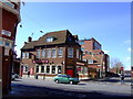
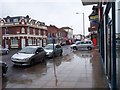
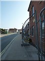
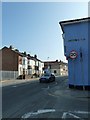
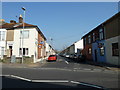
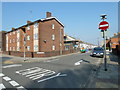
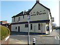
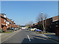
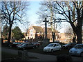
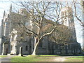
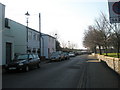
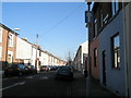
100 photos from this area
Area Information
Key information about the PO1 5QD including its size, population, and administrative classification.
- Area Type
- Postcode
- Area Size
- 2539 m²
- Population
- 1563
- Population Density
- 18497 people/km²
House Prices in PO1 5QD
21
Properties
£159,366
Average Sold Price
£48,500
Lowest Price
£232,500
Highest Price
Showing 21 properties
| Address | Type | Beds | Baths | Last Sale Price | Last Sale Date | |
|---|---|---|---|---|---|---|
| 62 Samuel Road, Portsmouth, PO1 5QD | Terraced | 3 | 1 | £228,000 | Oct 2025 | |
| 60 Samuel Road, Portsmouth, PO1 5QD | Terraced | 3 | 1 | £210,000 | Mar 2025 | |
| 86 Samuel Road, Portsmouth, PO1 5QD | Terraced | 3 | 1 | £220,000 | Oct 2024 | |
| 70 Samuel Road, Portsmouth, PO1 5QD | Retail | 2 | 1 | £218,000 | Aug 2022 | |
| 68 Samuel Road, Portsmouth, PO1 5QD | house | 3 | - | £225,000 | Feb 2022 | |
| 92 Samuel Road, Portsmouth, PO1 5QD | Terraced | 3 | 1 | £232,500 | Oct 2021 | |
| 90 Samuel Road, Portsmouth, PO1 5QD | Terraced | 3 | 1 | £206,000 | Sep 2021 | |
| 98 Samuel Road, Portsmouth, PO1 5QD | Semi-detached | 3 | 1 | £105,730 | Jan 2021 | |
| 74 Samuel Road, Portsmouth, PO1 5QD | Terraced | 3 | 1 | £195,000 | Aug 2018 | |
| 82 Samuel Road, Portsmouth, PO1 5QD | Terraced | 3 | 1 | £186,000 | Dec 2017 |
Page 1 of 3
Energy Efficiency in PO1 5QD
Amenities
Schools
| Rank | School | Type | Entry gender | Ages |
|---|
Explore more schools in this area
Go to Schools tabDemographics
Household Size
Family (3-5 people)
most common
Accommodation Type
Houses
most common
Tenure
51
majority
Ethnic Group
White
most common
Religion
N/A
most common
Household Composition
N/A
most common
Age
47
median
Adults (30-64 years)
most common
Household Deprivation
N/A
with no deprivation
NS-SEC
21
in Lower managerial occupations
Explore more demographic insights in this area
Go to Demographics tabPlanning
Planning Constraints
- Flood RiskPremium
- Ramsar Wetland SitesPremium
- Area of Outstanding Natural BeautyPremium
- Protected Nature ReservePremium
- Protected WoodlandPremium