Area Overview for PO1 5PY
Photos of PO1 5PY
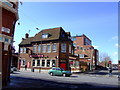
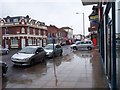
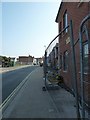
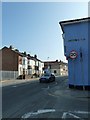
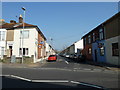
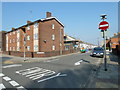
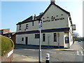
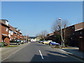
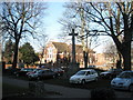
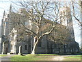
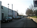
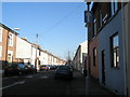
100 photos from this area
Area Information
Key information about the PO1 5PY including its size, population, and administrative classification.
- Area Type
- Postcode
- Area Size
- 4406 m²
- Population
- 1734
- Population Density
- 4574 people/km²
House Prices in PO1 5PY
32
Properties
£132,786
Average Sold Price
£42,000
Lowest Price
£220,000
Highest Price
Showing 32 properties
| Address | Type | Beds | Baths | Last Sale Price | Last Sale Date | |
|---|---|---|---|---|---|---|
| 90 Cuthbert Road, Portsmouth, PO1 5PY | house | - | - | £65,000 | Jul 2025 | |
| 100 Cuthbert Road, Portsmouth, PO1 5PY | Terraced | 2 | 1 | £200,000 | Feb 2025 | |
| 80 Cuthbert Road, Portsmouth, PO1 5PY | Terraced | 2 | 1 | £185,000 | Mar 2024 | |
| 94 Cuthbert Road, Portsmouth, PO1 5PY | Terraced | 2 | 1 | £220,000 | Nov 2023 | |
| 78 Cuthbert Road, Portsmouth, PO1 5PY | Terraced | 2 | 1 | £167,500 | Sep 2020 | |
| 70 Cuthbert Road, Portsmouth, PO1 5PY | Terraced | 2 | 1 | £145,000 | May 2019 | |
| 102 Cuthbert Road, Portsmouth, PO1 5PY | Terraced | 2 | 1 | £151,000 | Mar 2019 | |
| 96 Cuthbert Road, Portsmouth, PO1 5PY | Terraced | 2 | 1 | £170,000 | Mar 2019 | |
| 114 Cuthbert Road, Portsmouth, PO1 5PY | Terraced | 2 | 1 | £161,000 | Sep 2018 | |
| 108 Cuthbert Road, Portsmouth, PO1 5PY | Terraced | 2 | 1 | £173,000 | Jan 2018 |
Page 1 of 4
Energy Efficiency in PO1 5PY
Amenities
Schools
| Rank | School | Type | Entry gender | Ages |
|---|
Explore more schools in this area
Go to Schools tabDemographics
Household Size
One person
most common
Accommodation Type
Houses
most common
Tenure
53
majority
Ethnic Group
White
most common
Religion
N/A
most common
Household Composition
N/A
most common
Age
47
median
Adults (30-64 years)
most common
Household Deprivation
N/A
with no deprivation
NS-SEC
22
in Lower managerial occupations
Explore more demographic insights in this area
Go to Demographics tabPlanning
Planning Constraints
- Flood RiskPremium
- Ramsar Wetland SitesPremium
- Area of Outstanding Natural BeautyPremium
- Protected Nature ReservePremium
- Protected WoodlandPremium