Area Overview for PO1 2TY
Photos of PO1 2TY

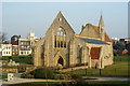

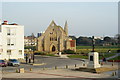
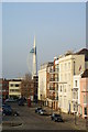
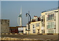
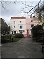
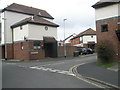
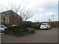
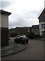
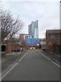
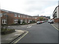
100 photos from this area
Area Information
Key information about the PO1 2TY including its size, population, and administrative classification.
- Area Type
- Postcode
- Area Size
- 2134 m²
- Population
- 1339
- Population Density
- 8353 people/km²
House Prices in PO1 2TY
11
Properties
£323,409
Average Sold Price
£97,000
Lowest Price
£520,000
Highest Price
Showing 11 properties
| Address | Type | Beds | Baths | Last Sale Price | Last Sale Date | |
|---|---|---|---|---|---|---|
| 45 White Hart Road, Portsmouth, PO1 2TY | Terraced | 3 | 2 | £520,000 | May 2022 | |
| 41 White Hart Road, Portsmouth, PO1 2TY | Semi-detached | 2 | 2 | £495,000 | Sep 2021 | |
| 43 White Hart Road, Portsmouth, PO1 2TY | house | 3 | - | £453,000 | Dec 2020 | |
| 47 White Hart Road, Portsmouth, PO1 2TY | house | 3 | 1 | £350,000 | Jul 2015 | |
| 61 White Hart Road, Portsmouth, PO1 2TY | Flat | - | - | £170,000 | May 2009 | |
| 51 White Hart Road, Portsmouth, PO1 2TY | Terraced | - | - | £306,000 | Dec 2007 | |
| 49 White Hart Road, Portsmouth, PO1 2TY | house | - | - | £328,500 | Jun 2007 | |
| 53 White Hart Road, Portsmouth, PO1 2TY | house | 3 | - | £330,000 | Jan 2007 | |
| 59 White Hart Road, Portsmouth, PO1 2TY | Flat | 2 | 2 | £245,000 | Jun 2006 | |
| 55 White Hart Road, Portsmouth, PO1 2TY | Terraced | - | - | £263,000 | Feb 2004 |
Page 1 of 2
Energy Efficiency in PO1 2TY
Amenities
Schools
| Rank | School | Type | Entry gender | Ages |
|---|
Explore more schools in this area
Go to Schools tabDemographics
Household Size
One person
most common
Accommodation Type
Houses
most common
Tenure
60
majority
Ethnic Group
White
most common
Religion
N/A
most common
Household Composition
N/A
most common
Age
47
median
Adults (30-64 years)
most common
Household Deprivation
N/A
with no deprivation
NS-SEC
54
in Lower managerial occupations
Explore more demographic insights in this area
Go to Demographics tabPlanning
Planning Constraints
- Flood RiskPremium
- Ramsar Wetland SitesPremium
- Area of Outstanding Natural BeautyPremium
- Protected Nature ReservePremium
- Protected WoodlandPremium