Area Overview for OX5 3BN
Photos of OX5 3BN

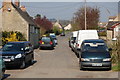
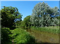
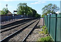
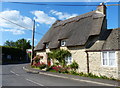
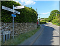
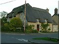
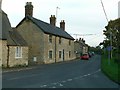

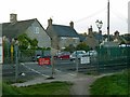
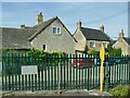
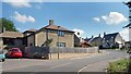
34 photos from this area
Area Information
Key information about the OX5 3BN including its size, population, and administrative classification.
- Area Type
- Postcode
- Area Size
- 12.2 hectares
- Population
- 1468
- Population Density
- 56 people/km²
House Prices in OX5 3BN
16
Properties
£291,275
Average Sold Price
£99,000
Lowest Price
£500,000
Highest Price
Showing 16 properties
| Address | Type | Beds | Baths | Last Sale Price | Last Sale Date | |
|---|---|---|---|---|---|---|
| 37 Chaundy Road, Tackley, OX5 3BN | Detached | 4 | 2 | £475,000 | Aug 2017 | |
| 21 Chaundy Road, Tackley, OX5 3BN | Semi-detached | 4 | 2 | £350,000 | Jul 2016 | |
| 43 Chaundy Road, Tackley, OX5 3BN | Detached | 4 | 2 | £500,000 | Jun 2015 | |
| 17 Chaundy Road, Tackley, OX5 3BN | house | 4 | - | £340,000 | Sep 2010 | |
| 23 Chaundy Road, Tackley, OX5 3BN | Semi-detached | - | - | £305,000 | Aug 2007 | |
| 31 Chaundy Road, Tackley, OX5 3BN | Detached | - | - | £358,750 | Jan 2007 | |
| Willowbrook, 41 Chaundy Road, Tackley, OX5 3BN | Detached | - | - | £208,000 | Aug 1998 | |
| 25 Chaundy Road, Tackley, OX5 3BN | Detached | - | - | £155,000 | May 1998 | |
| 29 Chaundy Road, Tackley, OX5 3BN | Detached | 3 | 2 | £122,000 | Feb 1997 | |
| 30 Chaundy Road, Tackley, OX5 3BN | Semi-detached | - | - | £99,000 | Sep 1996 |
Page 1 of 2
Energy Efficiency in OX5 3BN
Amenities
Schools
| Rank | School | Type | Entry gender | Ages |
|---|
Explore more schools in this area
Go to Schools tabDemographics
Household Size
Two person
most common
Accommodation Type
Houses
most common
Tenure
71
majority
Ethnic Group
White
most common
Religion
N/A
most common
Household Composition
N/A
most common
Age
47
median
Adults (30-64 years)
most common
Household Deprivation
N/A
with no deprivation
NS-SEC
47
in Lower managerial occupations
Explore more demographic insights in this area
Go to Demographics tabPlanning
Planning Constraints
- Flood RiskPremium
- Ramsar Wetland SitesPremium
- Area of Outstanding Natural BeautyPremium
- Protected Nature ReservePremium
- Protected WoodlandPremium