Area Overview for OX5 2HT
Photos of OX5 2HT
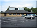
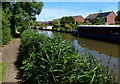
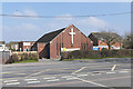
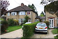
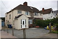
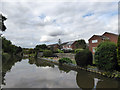
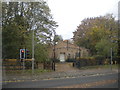
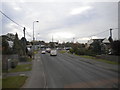
48 photos from this area
Area Information
Key information about the OX5 2HT including its size, population, and administrative classification.
- Area Type
- Postcode
- Area Size
- 1.2 hectares
- Population
- 1584
- Population Density
- 4345 people/km²
House Prices in OX5 2HT
32
Properties
£285,397
Average Sold Price
£75,000
Lowest Price
£525,000
Highest Price
Showing 32 properties
| Address | Type | Beds | Baths | Last Sale Price | Last Sale Date | |
|---|---|---|---|---|---|---|
| 57 Croft Avenue, Kidlington, OX5 2HT | Detached | 4 | 2 | £525,000 | Jun 2021 | |
| 40A Croft Avenue, Kidlington, OX5 2HT | Detached | 3 | 1 | £335,000 | Sep 2017 | |
| 51 Croft Avenue, Kidlington, OX5 2HT | Semi-detached | 4 | 2 | £418,000 | Jul 2016 | |
| 55 Croft Avenue, Kidlington, OX5 2HT | Semi-detached | 3 | 1 | £390,000 | Mar 2016 | |
| 41 Croft Avenue, Kidlington, OX5 2HT | Semi-detached | 3 | - | £310,000 | Aug 2014 | |
| 32 Croft Avenue, Kidlington, OX5 2HT | house | 5 | - | £365,000 | Apr 2014 | |
| 29 Croft Avenue, Kidlington, OX5 2HT | Semi-detached | 4 | 2 | £315,000 | Mar 2013 | |
| 59 Croft Avenue, Kidlington, OX5 2HT | house | 3 | - | £270,000 | Nov 2011 | |
| 31 Croft Avenue, Kidlington, OX5 2HT | Semi-detached | 4 | 3 | £265,000 | Oct 2010 | |
| 37 Croft Avenue, Kidlington, OX5 2HT | house | - | - | £219,950 | Apr 2009 |
Page 1 of 4
Energy Efficiency in OX5 2HT
Amenities
Schools
| Rank | School | Type | Entry gender | Ages |
|---|
Explore more schools in this area
Go to Schools tabDemographics
Household Size
Two person
most common
Accommodation Type
Houses
most common
Tenure
70
majority
Ethnic Group
White
most common
Religion
N/A
most common
Household Composition
N/A
most common
Age
47
median
Adults (30-64 years)
most common
Household Deprivation
N/A
with no deprivation
NS-SEC
40
in Lower managerial occupations
Explore more demographic insights in this area
Go to Demographics tabPlanning
Planning Constraints
- Flood RiskPremium
- Ramsar Wetland SitesPremium
- Area of Outstanding Natural BeautyPremium
- Protected Nature ReservePremium
- Protected WoodlandPremium