Area Overview for OX5 2AE
Photos of OX5 2AE
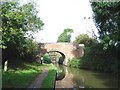
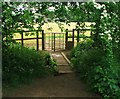
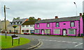
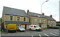
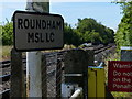
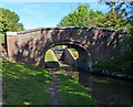
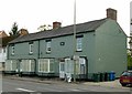
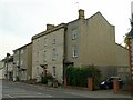
72 photos from this area
Area Information
Key information about the OX5 2AE including its size, population, and administrative classification.
- Area Type
- Postcode
- Area Size
- 1.6 hectares
- Population
- 1287
- Population Density
- 1255 people/km²
House Prices in OX5 2AE
28
Properties
£379,450
Average Sold Price
£125,000
Lowest Price
£600,001
Highest Price
Showing 28 properties
| Address | Type | Beds | Baths | Last Sale Price | Last Sale Date | |
|---|---|---|---|---|---|---|
| 159 The Moors, Kidlington, OX5 2AE | Semi-detached | 3 | 2 | £415,000 | Mar 2025 | |
| 219 The Moors, Kidlington, OX5 2AE | Terraced | 3 | 1 | £365,000 | Nov 2024 | |
| 175 The Moors, Kidlington, OX5 2AE | Detached | 3 | 1 | £600,001 | Dec 2023 | |
| 179 The Moors, Kidlington, OX5 2AE | Bungalow | 3 | 1 | £570,000 | Feb 2023 | |
| 221 The Moors, Kidlington, OX5 2AE | Semi-detached | 4 | 1 | £450,000 | Feb 2021 | |
| 211 The Moors, Kidlington, OX5 2AE | Semi-detached | 4 | 1 | £445,500 | Oct 2018 | |
| 195 The Moors, Kidlington, OX5 2AE | Bungalow | 4 | - | £600,000 | May 2018 | |
| 213 The Moors, Kidlington, OX5 2AE | house | 1 | 1 | £340,000 | Oct 2016 | |
| 199 The Moors, Kidlington, OX5 2AE | Bungalow | 3 | 2 | £560,000 | Aug 2016 | |
| 201 The Moors, Kidlington, OX5 2AE | Semi-detached | 4 | - | £311,000 | Aug 2013 |
Page 1 of 3
Energy Efficiency in OX5 2AE
Amenities
Schools
| Rank | School | Type | Entry gender | Ages |
|---|
Explore more schools in this area
Go to Schools tabDemographics
Household Size
Family (3-5 people)
most common
Accommodation Type
Houses
most common
Tenure
72
majority
Ethnic Group
White
most common
Religion
N/A
most common
Household Composition
N/A
most common
Age
47
median
Adults (30-64 years)
most common
Household Deprivation
N/A
with no deprivation
NS-SEC
34
in Lower managerial occupations
Explore more demographic insights in this area
Go to Demographics tabPlanning
Planning Constraints
- Flood RiskPremium
- Ramsar Wetland SitesPremium
- Area of Outstanding Natural BeautyPremium
- Protected Nature ReservePremium
- Protected WoodlandPremium