Area Overview for OX5 1TH
Photos of OX5 1TH
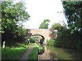
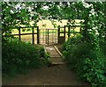
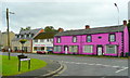
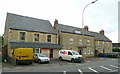
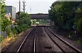
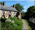
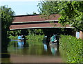
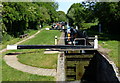
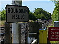
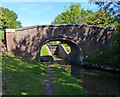
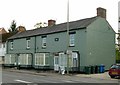
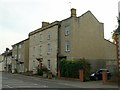
72 photos from this area
Area Information
Key information about the OX5 1TH including its size, population, and administrative classification.
- Area Type
- Postcode
- Area Size
- 8614 m²
- Population
- 1372
- Population Density
- 345 people/km²
House Prices in OX5 1TH
35
Properties
£222,165
Average Sold Price
£59,000
Lowest Price
£389,000
Highest Price
Showing 35 properties
| Address | Type | Beds | Baths | Last Sale Price | Last Sale Date | |
|---|---|---|---|---|---|---|
| 32 Flatford Place, Kidlington, OX5 1TH | Detached | 3 | 1 | £358,500 | Dec 2025 | |
| 42 Flatford Place, Kidlington, OX5 1TH | house | 3 | - | £389,000 | Mar 2025 | |
| 52 Flatford Place, Kidlington, OX5 1TH | Terraced | 2 | 1 | £318,000 | May 2022 | |
| 54 Flatford Place, Kidlington, OX5 1TH | Terraced | 2 | - | £305,000 | May 2021 | |
| 48 Flatford Place, Kidlington, OX5 1TH | house | - | - | £285,000 | Feb 2021 | |
| 50 Flatford Place, Kidlington, OX5 1TH | Terraced | 3 | 1 | £335,000 | Feb 2020 | |
| 10 Flatford Place, Kidlington, OX5 1TH | Terraced | 1 | 1 | £307,300 | May 2019 | |
| 40 Flatford Place, Kidlington, OX5 1TH | Terraced | 4 | 1 | £375,000 | May 2018 | |
| 6 Flatford Place, Kidlington, OX5 1TH | Terraced | 3 | 1 | £270,000 | Sep 2016 | |
| 64 Flatford Place, Kidlington, OX5 1TH | Terraced | 2 | 1 | £280,000 | Mar 2016 |
Page 1 of 4
Energy Efficiency in OX5 1TH
Amenities
Schools
| Rank | School | Type | Entry gender | Ages |
|---|
Explore more schools in this area
Go to Schools tabDemographics
Household Size
Two person
most common
Accommodation Type
Houses
most common
Tenure
58
majority
Ethnic Group
White
most common
Religion
N/A
most common
Household Composition
N/A
most common
Age
47
median
Adults (30-64 years)
most common
Household Deprivation
N/A
with no deprivation
NS-SEC
35
in Lower managerial occupations
Explore more demographic insights in this area
Go to Demographics tabPlanning
Planning Constraints
- Flood RiskPremium
- Ramsar Wetland SitesPremium
- Area of Outstanding Natural BeautyPremium
- Protected Nature ReservePremium
- Protected WoodlandPremium