Area Overview for OX5 1LT
Photos of OX5 1LT
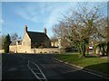

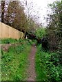
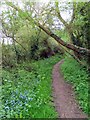
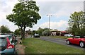
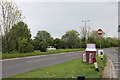
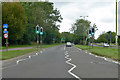
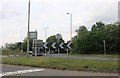
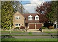
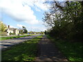
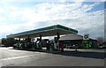
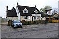
35 photos from this area
Area Information
Key information about the OX5 1LT including its size, population, and administrative classification.
- Area Type
- Postcode
- Area Size
- 21.5 hectares
- Population
- 1627
- Population Density
- 438 people/km²
House Prices in OX5 1LT
31
Properties
£326,654
Average Sold Price
£124,500
Lowest Price
£520,000
Highest Price
Showing 31 properties
| Address | Type | Beds | Baths | Last Sale Price | Last Sale Date | |
|---|---|---|---|---|---|---|
| 131 Rutten Lane, Yarnton, OX5 1LT | house | 4 | 2 | £425,000 | Apr 2021 | |
| 151 Rutten Lane, Yarnton, OX5 1LT | Bungalow | 4 | 1 | £520,000 | Mar 2021 | |
| 139 Rutten Lane, Yarnton, OX5 1LT | Semi-detached | 4 | 2 | £410,000 | Dec 2020 | |
| 145 Rutten Lane, Yarnton, OX5 1LT | Bungalow | 4 | - | £405,000 | Feb 2019 | |
| 127 Rutten Lane, Yarnton, OX5 1LT | Semi-detached | 4 | 1 | £465,000 | Mar 2016 | |
| 105 Rutten Lane, Yarnton, OX5 1LT | Bungalow | 5 | - | £493,000 | Feb 2014 | |
| 149 Rutten Lane, Yarnton, OX5 1LT | Bungalow | 2 | - | £290,000 | Dec 2011 | |
| 113 Rutten Lane, Yarnton, OX5 1LT | Bungalow | 4 | - | £342,000 | Jun 2011 | |
| 125 Rutten Lane, Yarnton, OX5 1LT | house | - | - | £235,000 | Aug 2009 | |
| 147 Rutten Lane, Yarnton, OX5 1LT | Detached | - | - | £215,000 | Mar 2002 |
Page 1 of 4
Energy Efficiency in OX5 1LT
Amenities
Schools
| Rank | School | Type | Entry gender | Ages |
|---|
Explore more schools in this area
Go to Schools tabDemographics
Household Size
Two person
most common
Accommodation Type
Houses
most common
Tenure
84
majority
Ethnic Group
White
most common
Religion
N/A
most common
Household Composition
N/A
most common
Age
47
median
Adults (30-64 years)
most common
Household Deprivation
N/A
with no deprivation
NS-SEC
44
in Lower managerial occupations
Explore more demographic insights in this area
Go to Demographics tabPlanning
Planning Constraints
- Flood RiskPremium
- Ramsar Wetland SitesPremium
- Area of Outstanding Natural BeautyPremium
- Protected Nature ReservePremium
- Protected WoodlandPremium